Stage 6. Kiandra, N.S.W. – Tharwa, A.C.T.
Friday, 25th March 2004. Kiandra – Witses Hut. 13 kms.
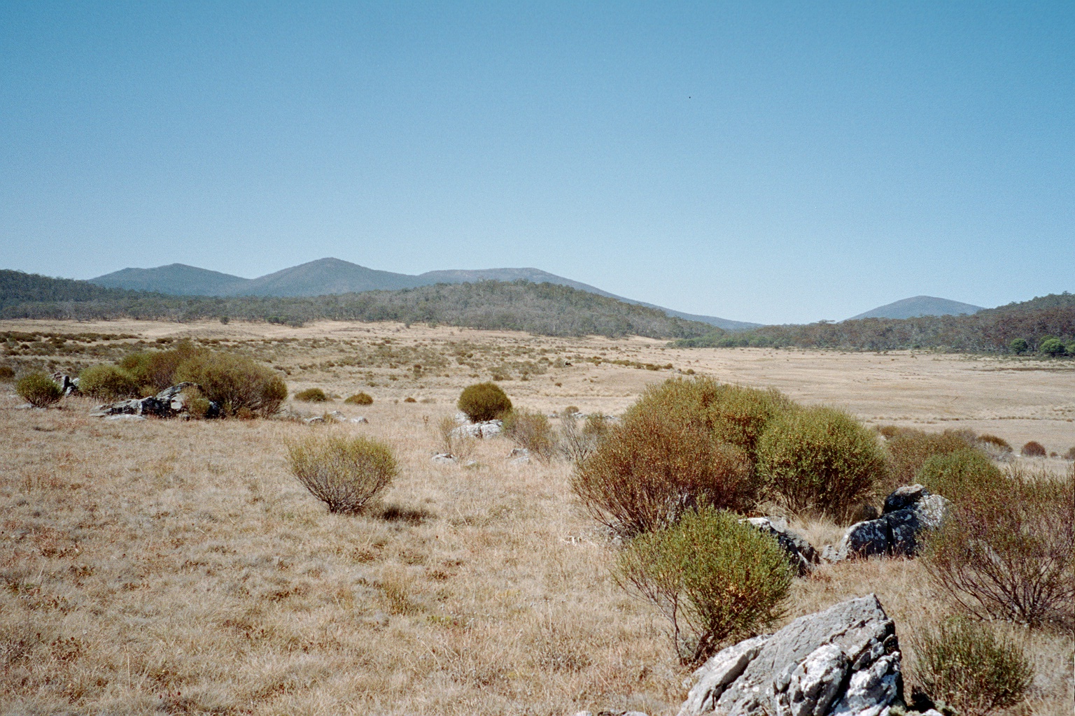
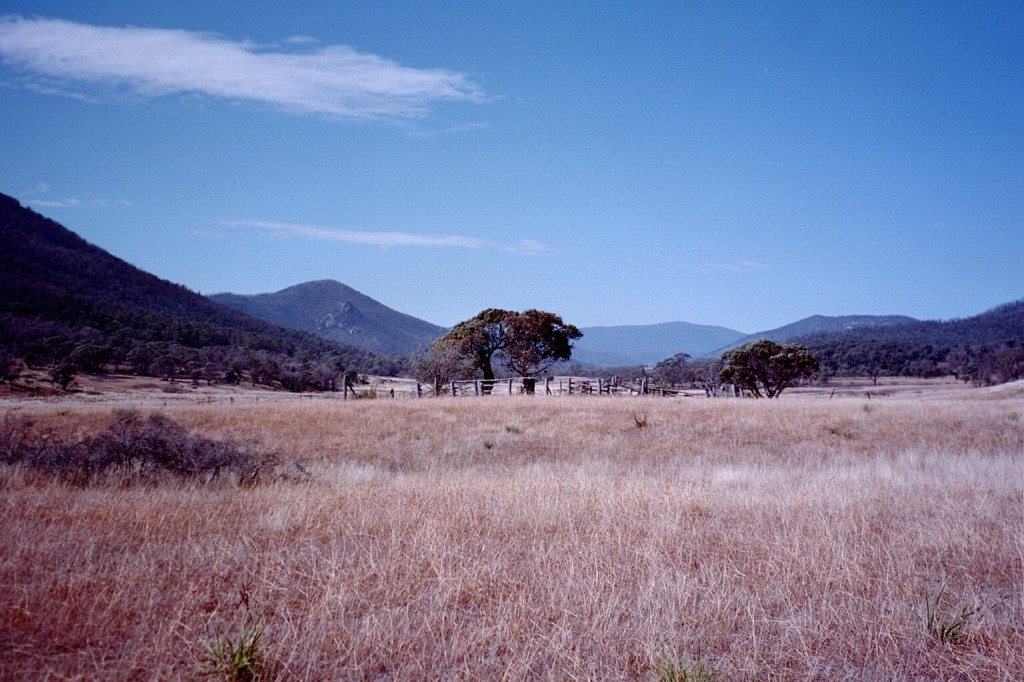
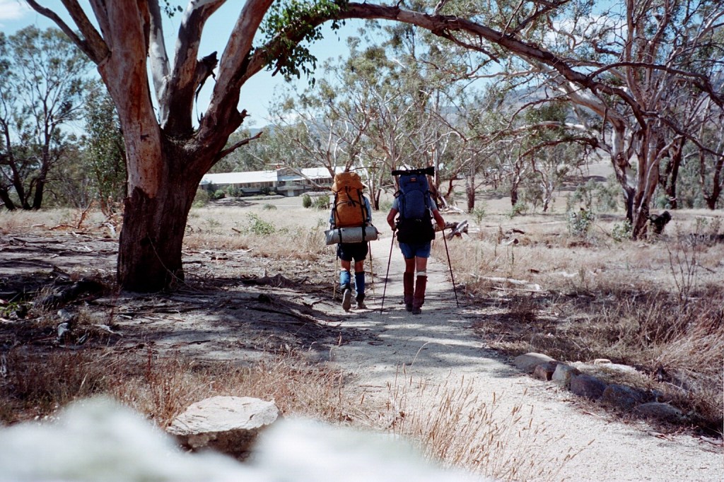
7 pm. We picked up our food cache at Kiandra and wandered all the way to Witses. We got here at about 4 pm. It was a nice walk along the Manga fire trail. It took us across the Wild Horse Plain and the Monaro Range Range down to Tantangarra Creek. I was going to ring home when we got to Kiandra but there were a couple of Telstra technicians working on the phone so we had to wait until they finished before I could phone. I got the answering machine. It was an easy walk into Kiandra. The grass had been cut all the way and we saw our first emu near Selwytn. Unfortunately, there is no water here. We went for a stroll for about 500 metres out on to the Blanket Plain but all the creeks we passed were dry. So Niv has taken our water containers back to Tantangarra Creek to fill them. It’s about a K and a half back to there. Unfortunately, the bursitis in my right knee has flared up big time. It’s very sore at the moment. I’m hoping that it will clear up. I think it’s because I spent a lot of time yesterday afternoon sitting cross legged shaving, having cups of tea and cooking dinner. I’m pretty sure that’s what has set it off as it’s not the pounding along the track because I’ve been doing that for weeks now. From here we’re going to Millers Hut tomorrow which is only 17 Ks away so, hopefully, we’ll be there for lunch. We also cross the Murrumbidgee and I doubt if there’s a shortage of water there. Then to Bill Jones Hut, Oldfields Hut and up to Murray’s Saddle and maybe even to Bimberi. That’ll depend on my knee. Then to Cotter House and the Orroral Valley. Hopefully we’ll be in Orroral on Monday night. We seem to be going very fast now but I think we’re going to slow down somewhat because of my knee.
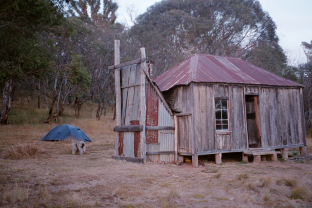
Witses Hut
Saturday, 26th March 2004. Witses Hut – Millers Hut. 16 kms.
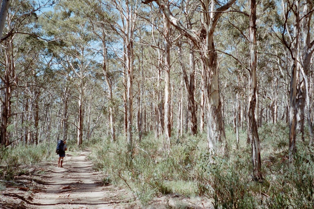
We had a good day. We left Witses and crossed Blanket Plain, up and over the divide and down to the Murrumbidgee River where there’s a ford and a very interesting foot bridge. It’s the remains of the original bridge with only one log crossing over now. We set out cross country above the Murrumbidgee and saw our first AAWT markers for a while. We descended down to the Murrumbidgee again and then followed a gully up to a saddle. Then down to Dairymans Creek. From there we headed northish until we reached the old Rules Point to Currango telegraph line which we followed until it veered off to the Port Phillip fire trail. We stayed on the original bearing until we found some wheel ruts which we followed down to Millers Hut. Millers Hut is quite lovely. The High Country bushwalking club who looks after it have done a wonderful job. It’s a bit plain on the outside, just corrugated iron but the inside is very nice. Unfortunately, my knee got worse and worse yesterday especially on the cross country bit. I’ve got it strapped up well and truly so I hope it will get me through the day. I had a rough night last night. Every time I rolled over or stretched or bent my leg I’d wake up with the pain. While we were cooking tea last night, three people came along on horses and we chatted for a while. They’re camped over at Ghost Gully which we’ll go past today before turning off on to the Mosquito Creek fire trail. We’ll follow it over Blue Water Holes Saddle and down on to the Coolamon Plains. We’ll make a decision there depending on how I’m feeling whether to stop at Blue Water Holes or push on to Oldfields. Today was the first day we’ve woken up with frost on the tent. It’s a beautiful Autumn day.
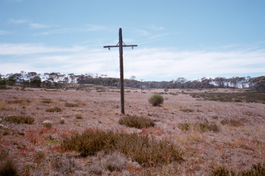
Rules Point to Currango telegraph line 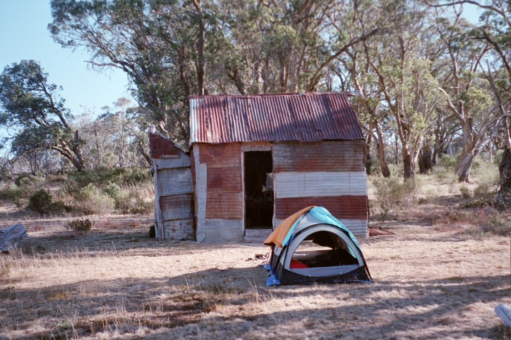
Millers Hut 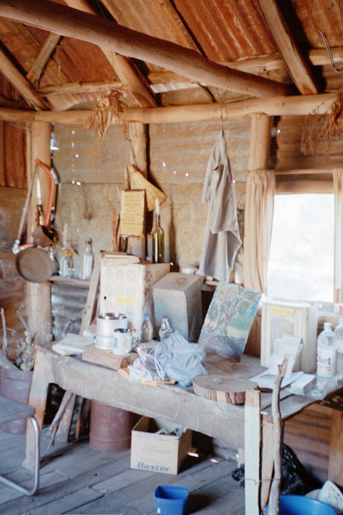
Inside Millers Hut 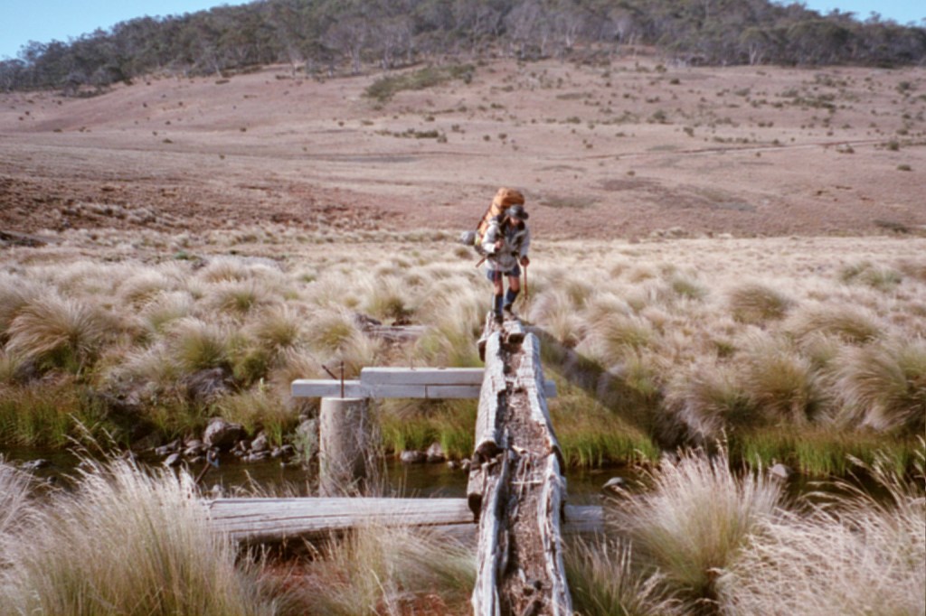
Niven crossing the Murrumbidgee River
Sunday, 27th March 2004. Millers Hut – Oldfields Hut. 38 kms.
We’ve just crossed into the Australian Capital Territory. Two states down and just the territory to go. Yesterday was a long hard day for me. We did 38 Ks from Millers Hut to Oldfields Hut. We checked out Hainsworth Hut on the Mosquito Creek fire trail. There’s a group of brumby runners encamped at Oldfields. They’ve got a contract from the A.C.T. government to trap any brumbies before they cross into the A.C.T. There’s some A.C.T. Parks rangers with them. They’ve set traps on the other side of Mount Murray using salt for bait. We saw several brumbies last night. They were crossing the flats below Oldfields on the Goodradigbee and we saw a mob today on the climb up to here at Dunnes Flat. Daylight savings finished this morning. My knee is very bad. It seems to be getting worse. I literally hobbled up to here. It was incredibly stiff this morning and it took a long time to warm up so I could move it freely with less pain. It has swollen up quite a bit around the strapping. Niv’s gone for a trot up to the summit of Bimberi.
Mosquito Creek fire trail 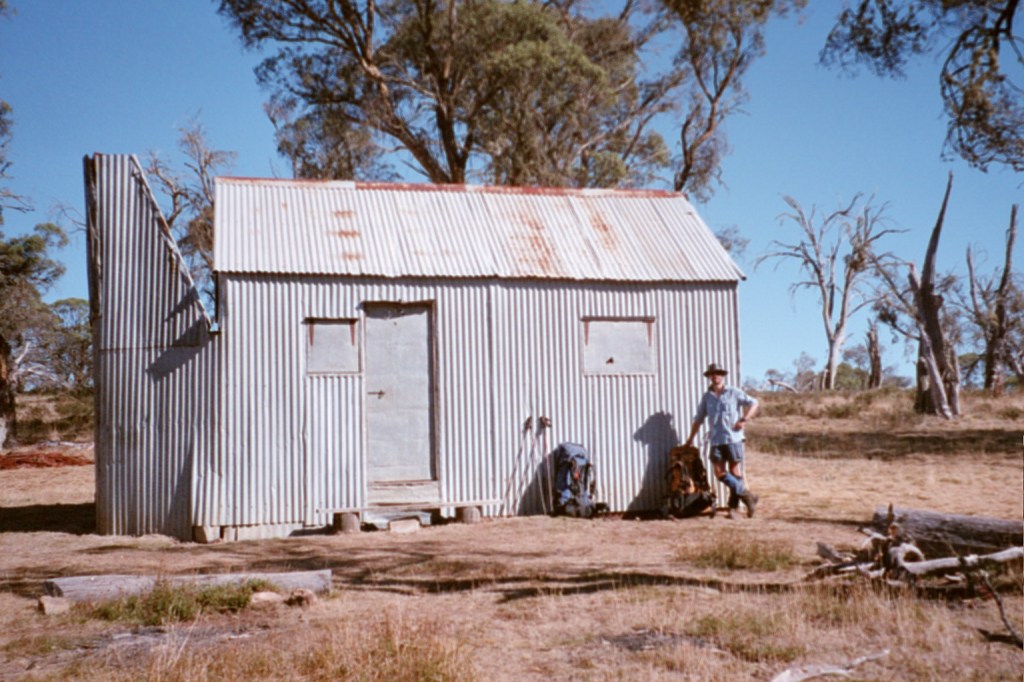
Hainsworth Hut 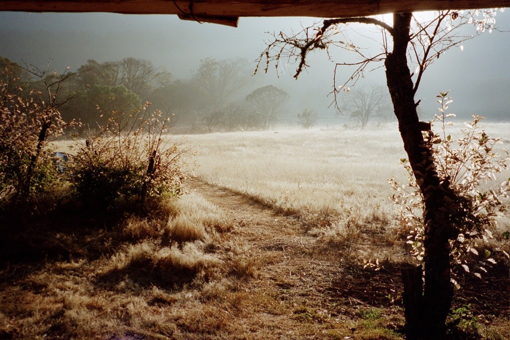
Morning at Oldfields Hut 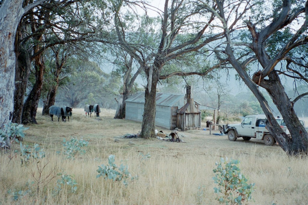
Oldfields Hut 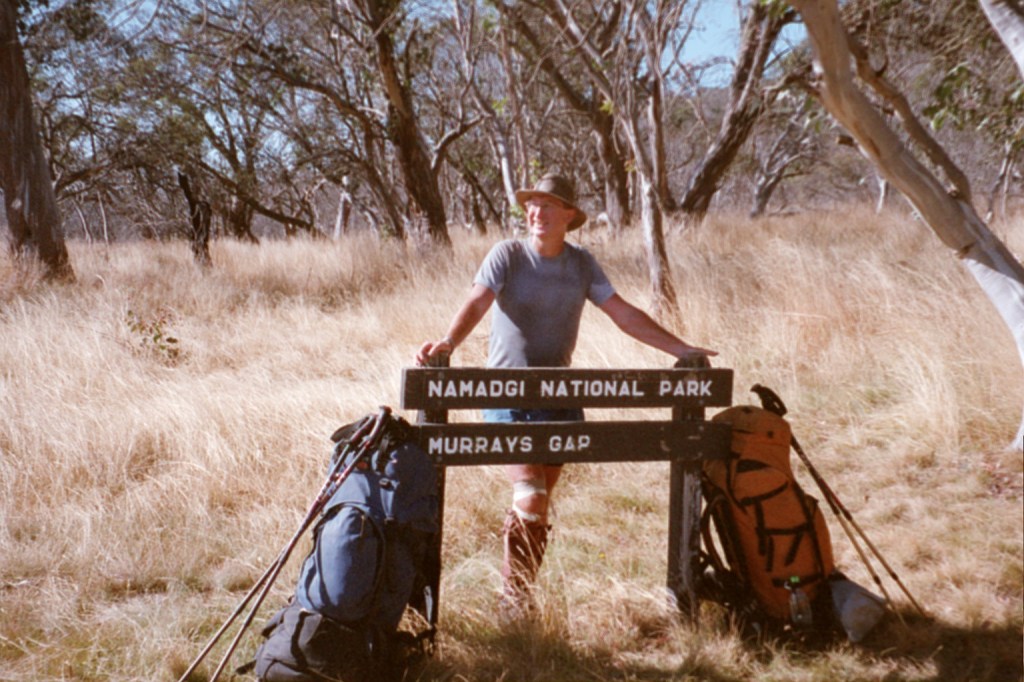
Crossing in to the A.C.T.
Monday, 28th March 2004. Oldfields Hut – Eighty Acres.28 kms.
After Murrays Gap we just strolled down the fire trail to the Yaouk fire trail and on to Cotter Hut. It’s all burnt out all the way through but the track is clear. We didn’t see any more brumbies. We had lunch at Cotter Hut and then just followed the road to Eighty Acres. We got here at about 6 pm. It was the first decent camp site after Cotter Hut. Mind you, I wouldn’t want to camp at Cotter Hut unless it was an emergency. There’s water there but it’s mainly sloping dusty ground. There’s water here. This is a very nice campsite. It’s overgrown with long grass so obviously the kangaroos haven’t returned after the fires. It got very cold last night and this morning there’s a real mackerel sky. We woke up at 6 am and the sun shone in. That’s the first time that’s happened on the trip. Today, we’re off to Orroral Valley then the Link Road up to Honeysuckle Creek. It’s only 18 Ks.
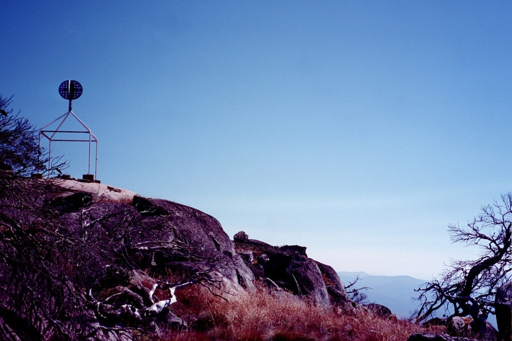
Mount Bimberi 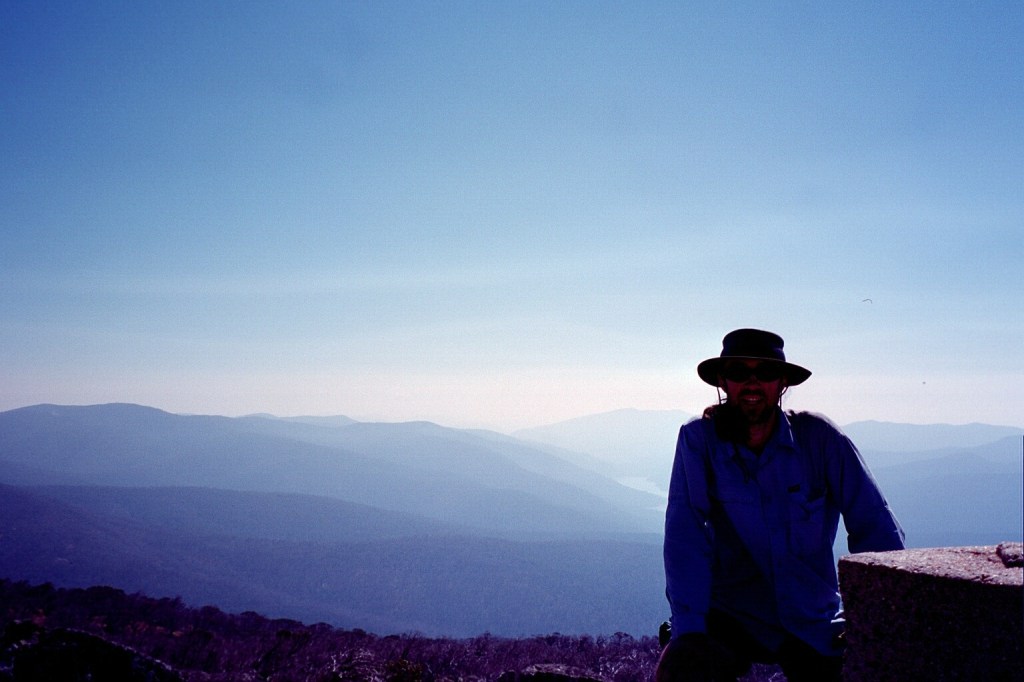
Niven on Bimberi 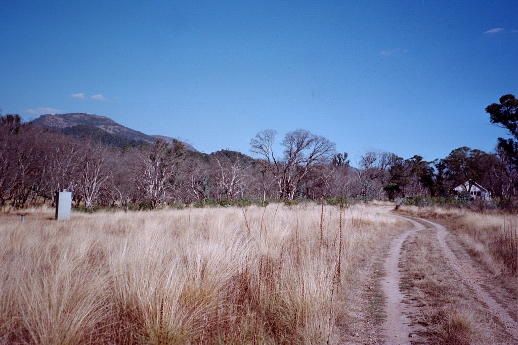
Cotter Hut 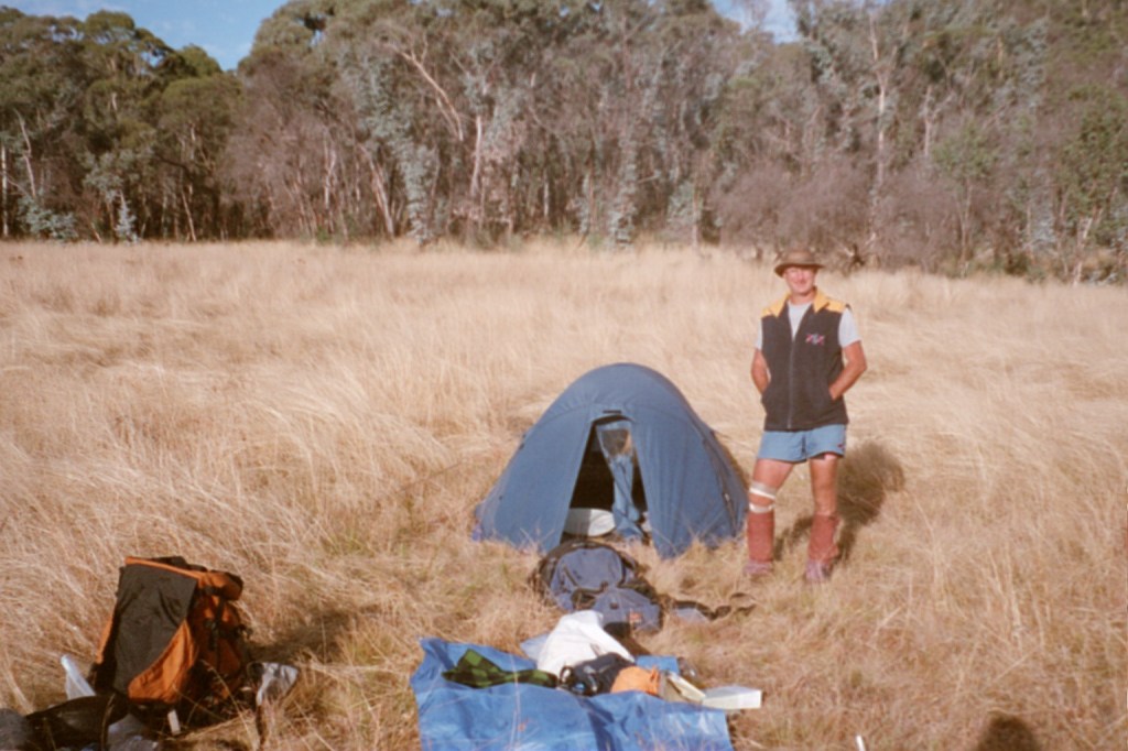
Eighty Acres
Tuesday, 29th March 2004. Eighty Acres – Honeysuckle Creek. 19 kms.
This has got to be my favourite campground. Toilets, water, a huge picnic shelter with tables and only 19 Ks to go. Yesterday we strolled into Orroral Valley and saw our first big mobs of kangaroos. Lots of mobs. It’s burnt out around the edges of the valley but the valley is untouched. It was a very easy climb up the Link Road and then down to Honeysuckle Creek. We got there at about 1:00 pm. We had lunch then set up camp and drank several cups of tea as water isn’t a problem. There’s no way my knee could handle the climb down to Tharwa from Mount Tennant so we’re going via the road.
Orroral Valley 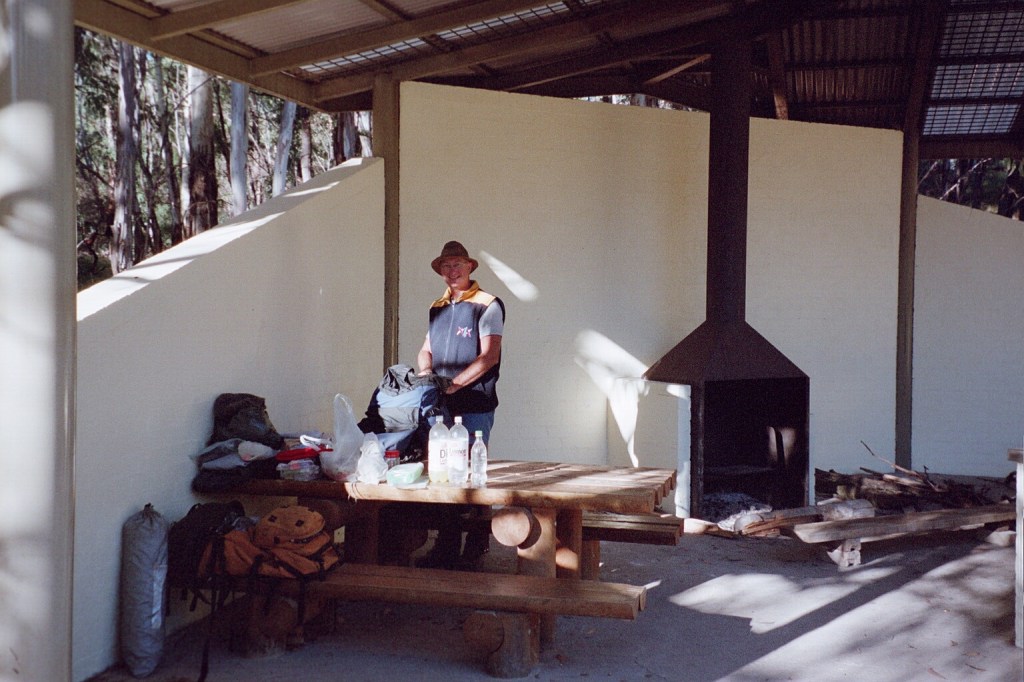
Honeysuckle Creek picnic shelter 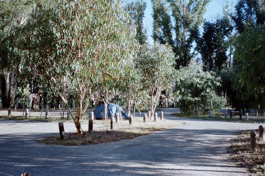
Honeysuckle Creek camp 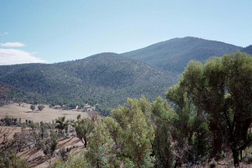
Mount Tennant
Wednesday, 30th March 2004. Honeysuckle Creek – Namadgi Visitos Centre, Tharwa. 19 kms.
Now that was a long bitumen bash. We wandered down the Apollo Road to the Tharwa Road and up it to here. Four hours, 19 Ks. Not bad. At one stage a calf was ahead of us along the road then it was joined by a couple of sheep. No matter what we tried, we couldn’t get passed them until the verges on the road widened enough for them to hide in the bush from us. This little game went on.for about 5 Ks.
200 metres to go. 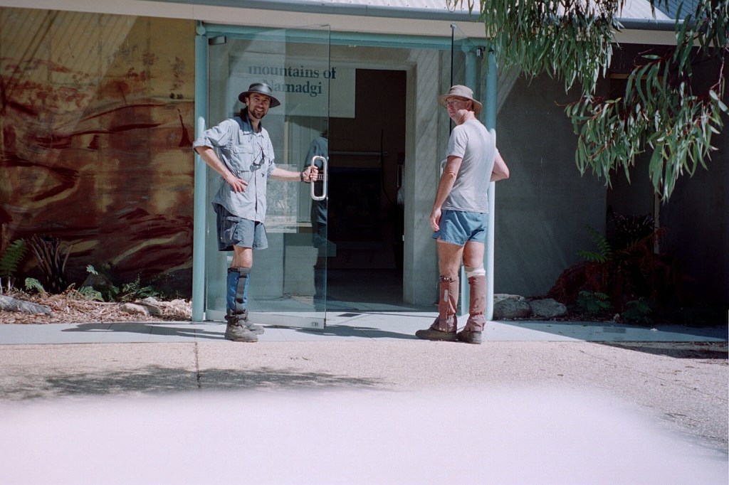
The finish. 🙂