Stage 2. Rumpff Saddle – Mount Hotham
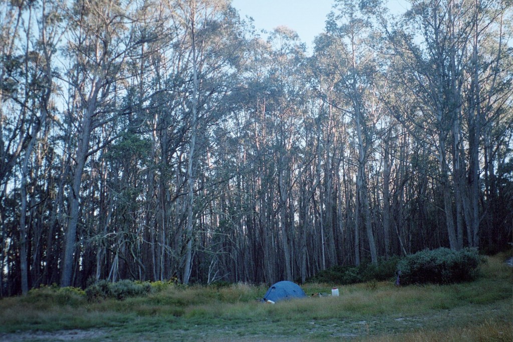
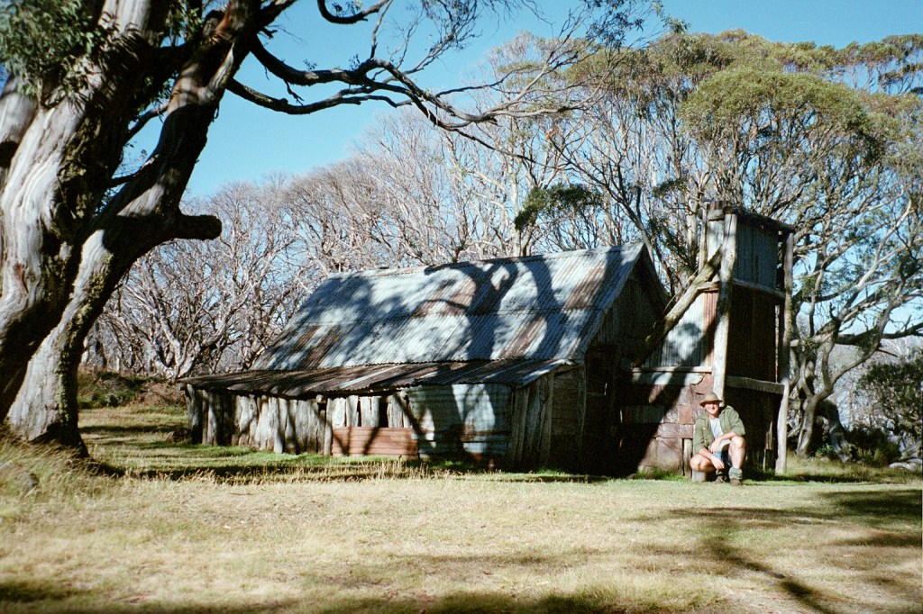
Rumpff Saddle camp
Tuesday, 2nd March 2004. Rumpff Saddle – Low Saddle. 16 kms.
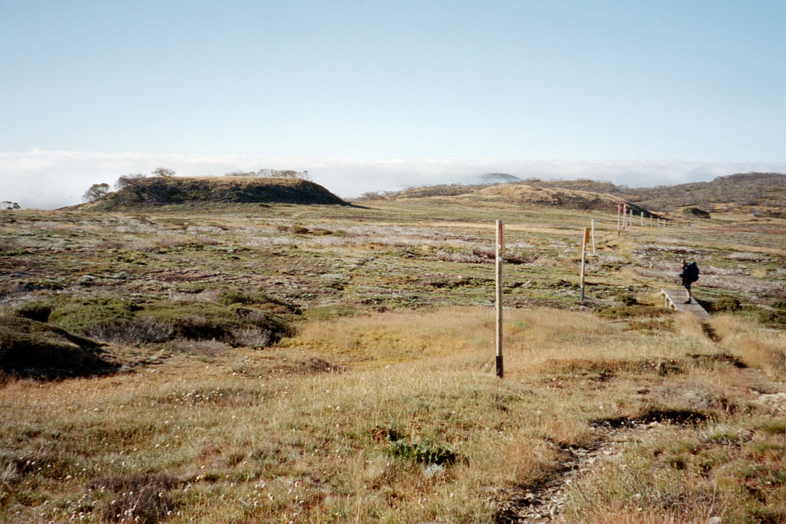
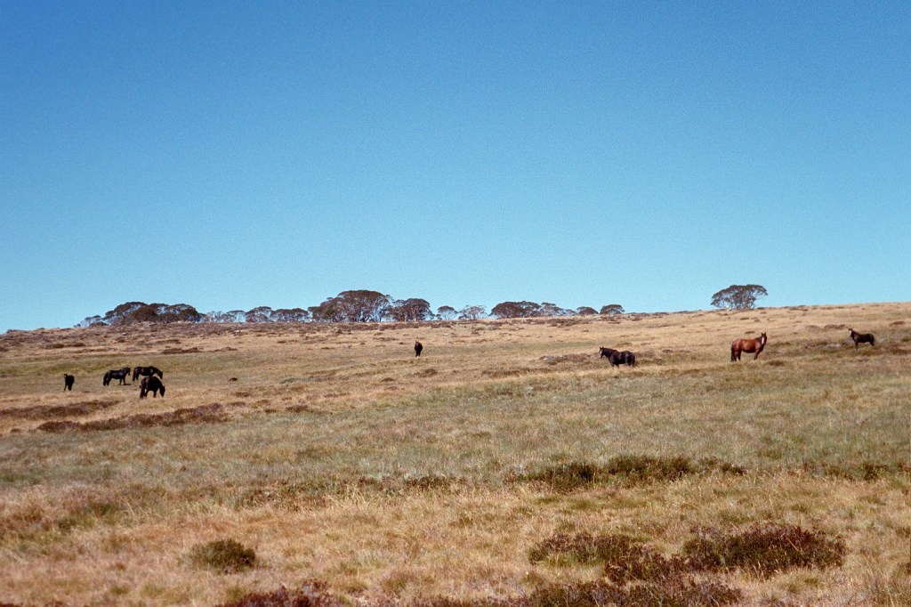
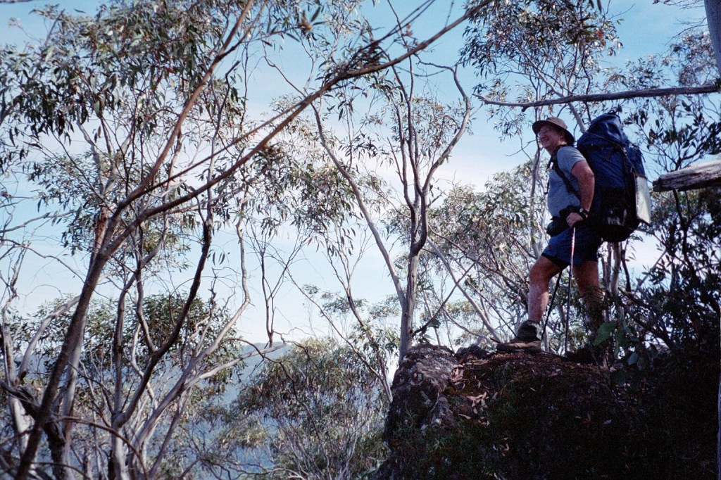
9 am. We’re just leaving Rumpff Saddle. I’m very happy to say that our food cache was intact when we got there yesterday afternoon. Yesterday turned into another long day after all. Nothing untoward, it just turned out to be. The climb up Mt Shillinglaw was the main climb of the day and from there it was just a long stroll along the road. We got to the cache at twenty past four, sorted things out and got going again at twenty past five. Rumpff Saddle is not a bad place. No water though. Nothing down the track to Frog’s Hollow. Unfortunately, Niven had a bit of an attack of the runs. Hence the late start this morning. He’s still not feeling the best. So this morning we’re just going to wander through to Low Saddle. That does mean, however, that somewhere along the line we’ll have to gain another day. It’s about a K from here to the Foresters Hut and about 2 Ks from there to a dam. Hopefully, we’ll get water at one of them. It’s a beautiful day but very windy and chilly.
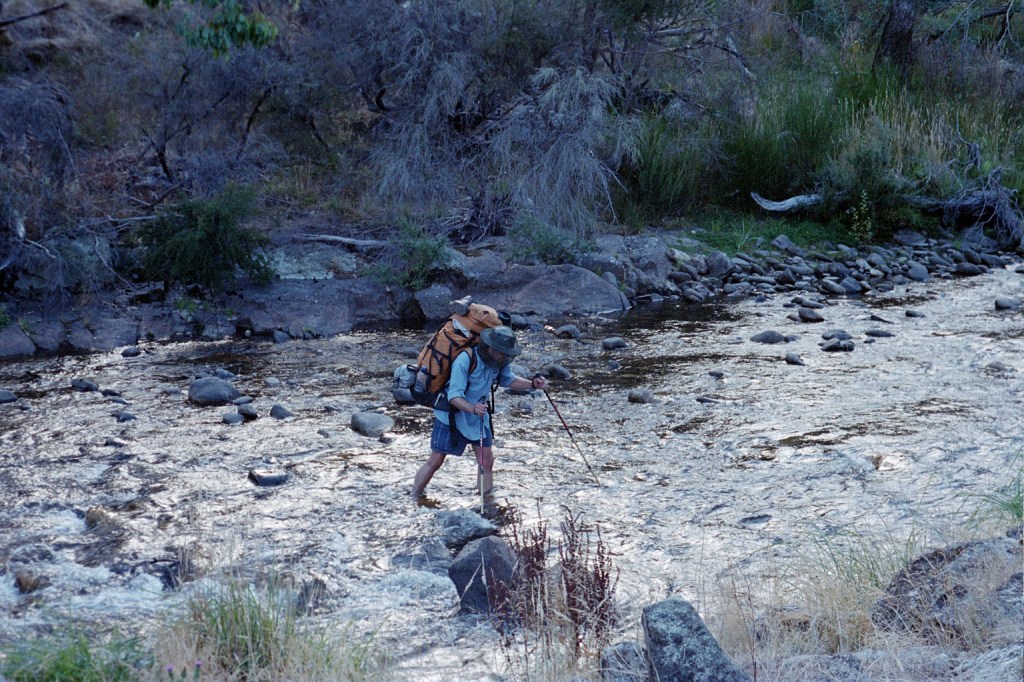
10.30 am. We’ve just spent the last three quarters of an hour filtering water out of the dam. The dam is very, very muddy with lots of animal tracks in the mud including pigs. We filled up everything we could except for our wine bladders and added puritabs and betadine. Hopefully, that will kill everything. From here it’s going to be a long afternoon stroll of about 10 Ks to the helipad near Mt Sunday before we turn off to go down to Low Saddle.
4 pm. We’re at Mt Sunday. Well, Mt Sunday locality. There’s a sign that says Mt Sunday but it’s right near the helipad. According to the good book and the map Mt Sunday is still half a click to the north. It’s been a rather pleasant day. Mainly uphill but following the Great Divide. So, it has been up, flat, up, flat, down a bit. We had lunch on top of Mt McKinty and hung everything sweaty out to dry. Now from here we leave the Mt Sunday Fire trail and cut through the bush on an old fire trail which starts at the helipad. That’ll take us down to Low Saddle which, surprisingly enough, is on the Mt Sunday Fire trail. It’s supposed to be shorter this way. Hopefully, along the way, we’ll find a spot to get some more water. Speaking of water, the water out of the dam with puritabs and betadine in it tastes absolutely beautiful. It’s a relative thing.
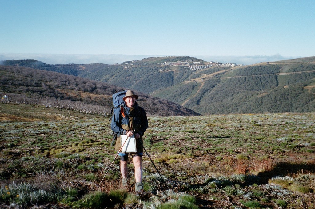
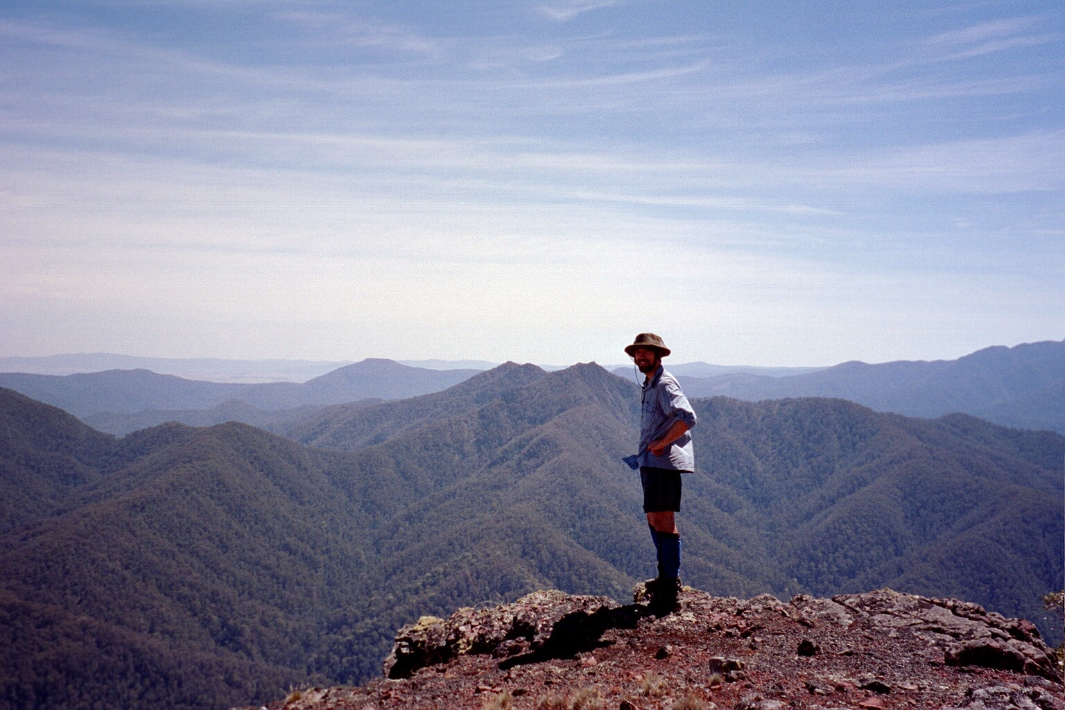
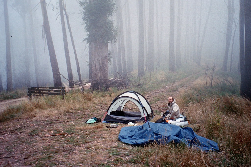
Niven @ Low Saddle 
Peter @ Low Saddle
Wednesday, 3rd March 2004. Low Saddle – Long Saddle. 10 kms.
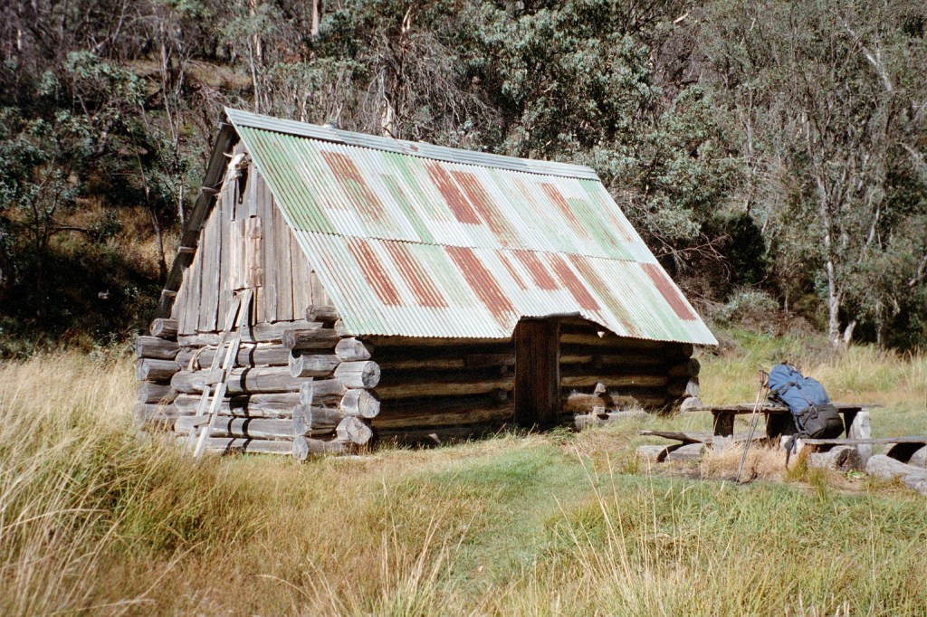
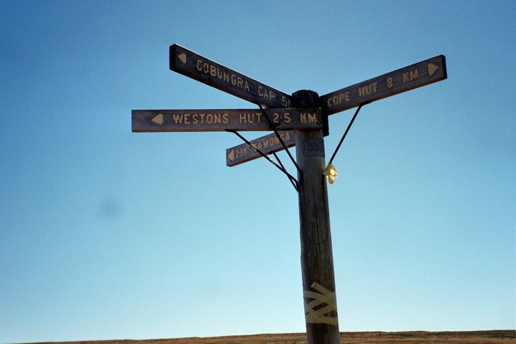
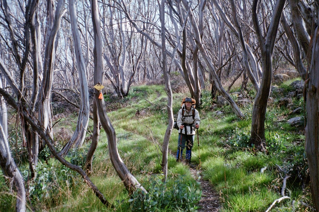
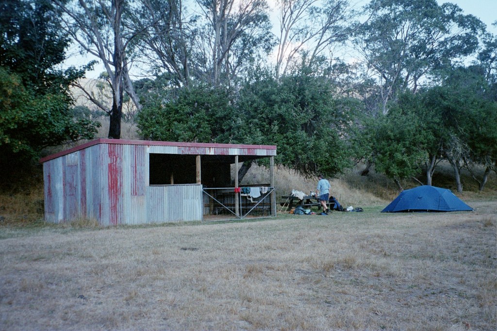
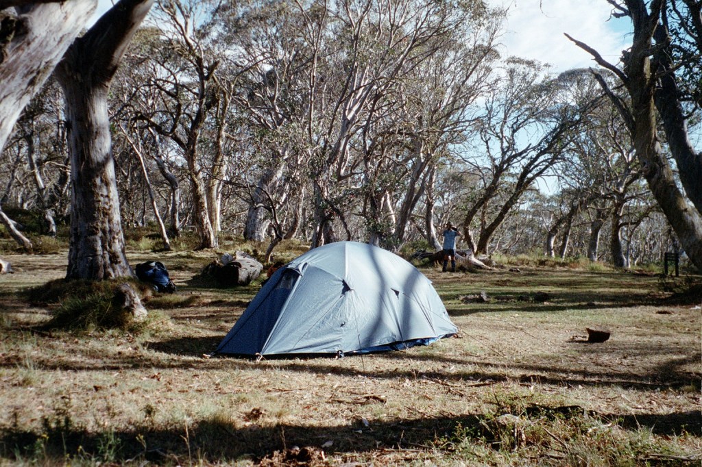
7.45 am. Happy Birthday, Dad. We got here late yesterday evening. About six. It was a bit of a hard scrub bash down the old fire trail back to the Mt Sunday Track but we got here. We set up camp and had a wander down the road to where the well was supposed to be to try and find some water but unfortunately we couldn’t find any usable water. We found the well OK after a bit of a look around. We came back up to our campsite and there is a very large wheel rut full of muddy water on the track. We skimmed a lot of water off and filtered it after letting the sediment settle. Today we’re off to climb Mt McDonald. It’s ten Ks from here to Long Saddle with a 900 metre climb. If we can get there by lunchtime, that might be a bit of a pipe dream, we’ll have lunch, get down the other side and decide whether we’ll push on to the Nobs which are only ten Ks down the fire trail. Of course, that depends on the condition of the fire trail.
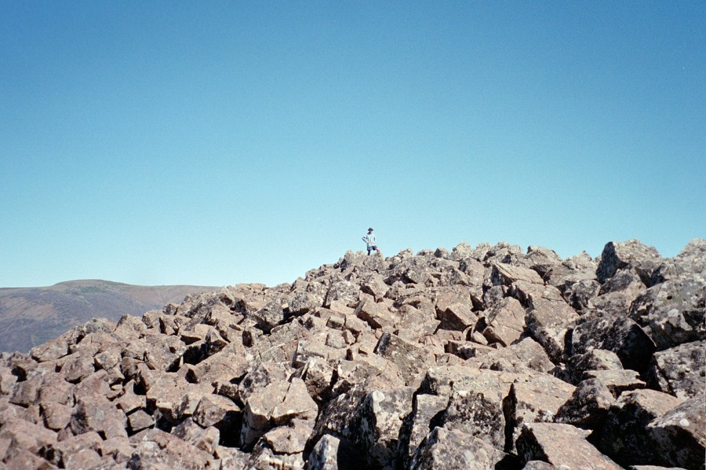
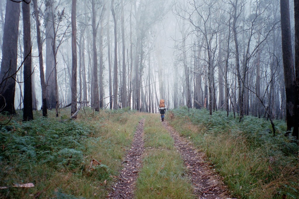
Climbing Mount McDonald 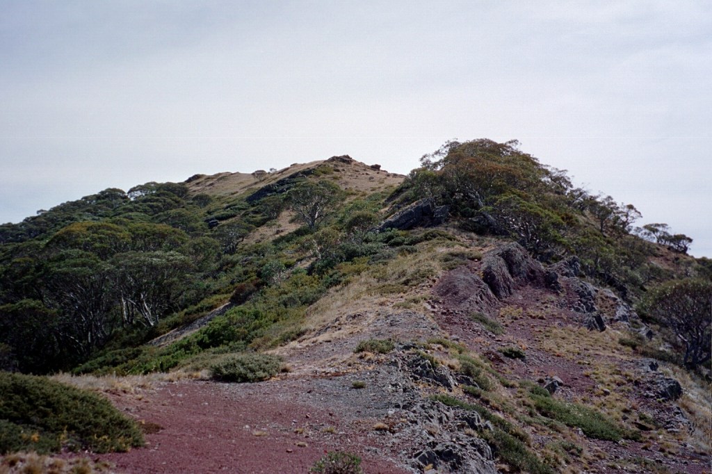
Mount McDonald
Thursday, 4th March 2004. Long Saddle – King Billy. 21 kms.
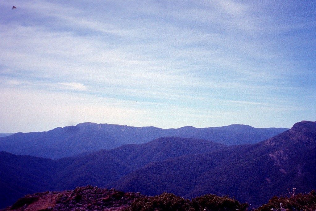
8 am. We had a very hard day yesterday, climbing up Mt McDonald. I found it extremely hard. Very rocky and very scrubby. We were constantly clambering up and down, over rocks, to get to the first of the peaks before the long climb up to the summit. I wasn’t feeling too good at all. I think I came down with whatever Niven had the previous day so that made me a bit weak but I seem to feel OK this morning. We are in a bad way in regards to water too. The last water we saw was back at the wheel rut near Low Saddle. Last night, when we got here, we wandered down the track for about a K and a half. All the creeks along the way were dry and it doesn’t look good from here on. So what we’ll do is push on to the Nobs and hopefully find water there. There’s supposed to be permanent water there but I’m not counting on it. We’ll cross over to Square Top and Mt Clear before coming back down to the King Billy Fire trail and then up to King Billy Saddle. From there I think we’re going to have a radical change of plans. We’re going to try and follow the King Billy Fire trail until we get to the Zeka Fire trail and follow that down to the Wonnangatta River. We’re going to abandon the attempt on the Crosscut Saw and the Viking. The water situation is just not good. It’s a very nice day. Very clear but very windy. It’s been blowing hard all night.
9.50 am. We’re on Clear Creek, about 3 Ks down from the Nobs. We’ve decide to forego the high route because of the water situation. We’re going to follow the fire trail to King Billy Saddle. There is lots of lovely water in Clear Creek so we’re going to stop here for morning tea, fill everything up and push on. From here it’s about 10 Ks till we rejoin the AAWT and then another 7 Ks to King Billy. However, there doesn’t appear to be any reliable water along the way, so what we take from here has to do us today and tomorrow morning.
8 pm. We got here at about five o’clock this afternoon. Today was a very long, hard day. We walked about 22 Ks and climbed over 900 metres after descending 500 metres this morning to get down to Clear Creek. I haven’t mentioned dinner last night. We had a dry dinner due to the lack of water which was actually very nice. We had fruit cake with two fruits poured over the top. The two fruits were in cans that I carried from the Rumppf Saddle food cache but we used the last of our water washing up. This morning, the decision was whether we take the AAWT over the high route or we descend down to Clear Creek which is what we did. We then followed the MVO track all the way to here. It was a beautiful day but today was definitely hump day without a doubt. There were a couple of stages before lunch when I wasn’t just saying, ” What am I doing here? ” but, ” It is time to go home. ” I got through it though and now we’re here. We got a huge boost to our morale here. We managed to ring home and I talked to Lisa and Bec. Jess was out. It was great to talk to them. We’ve had a lovely afternoon. We set up camp and dried all our gear out, had a few cups of tea, cooked a big dinner and ate it all. This is a beautiful place. On the saddle we can see the moon rising behind us while the sun is setting in front. It’s going to be a lovely night. So I’m going to wash up and think about another cup of tea.
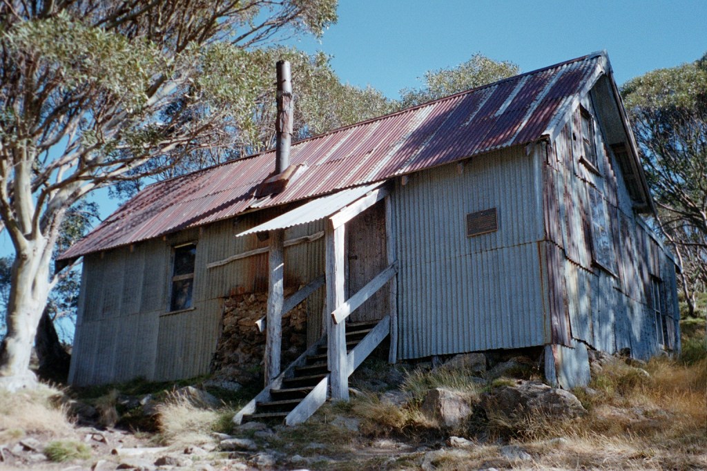
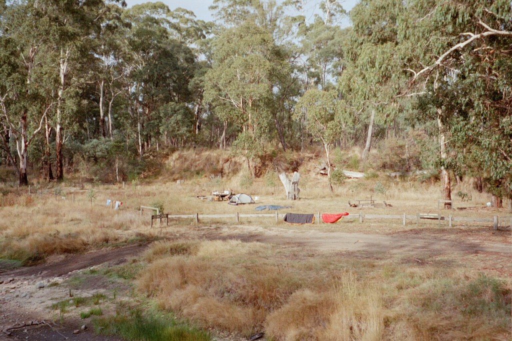
King Billy Saddle
Friday, 5th March 2004. King Billy Saddle – Wonnangatta River. 40 kms.
1.15 pm. We’ve just had lunch. This is a lovely spot. It’s nice and shady and grassy. It looks like an old stockyard. We had a very pleasant morning. We walked down from King Billy Saddle down to the MacAlister River, filled up our water bottles and walked up the other side. We got here about twelve-thirtyish. There are quite a few cars here. Everyone must take off from here to do the walk to Mt Speculation and the Wonnangatta River. We’re heading from here down to the Zeka Fire trail and follow it down to the Wonnangotta River. Tomorrow, we’ll climb back up to Barry Saddle. There’s a stream on the way called Rileys Creek where we hope to top up our water which should get us up to Barry Saddle. From there, it’s Mt Murray and Mt Hotham. We’re not anticipating any problems. The weather is still very nice. It’s slightly cloudy. On the walk up from the Macalister River, there were a lot of huge rock slides so this is a fairly unstable region. We also got passed by a very large group, a dozen or so, trail bikers.
Looking back across the MacAlister River valley 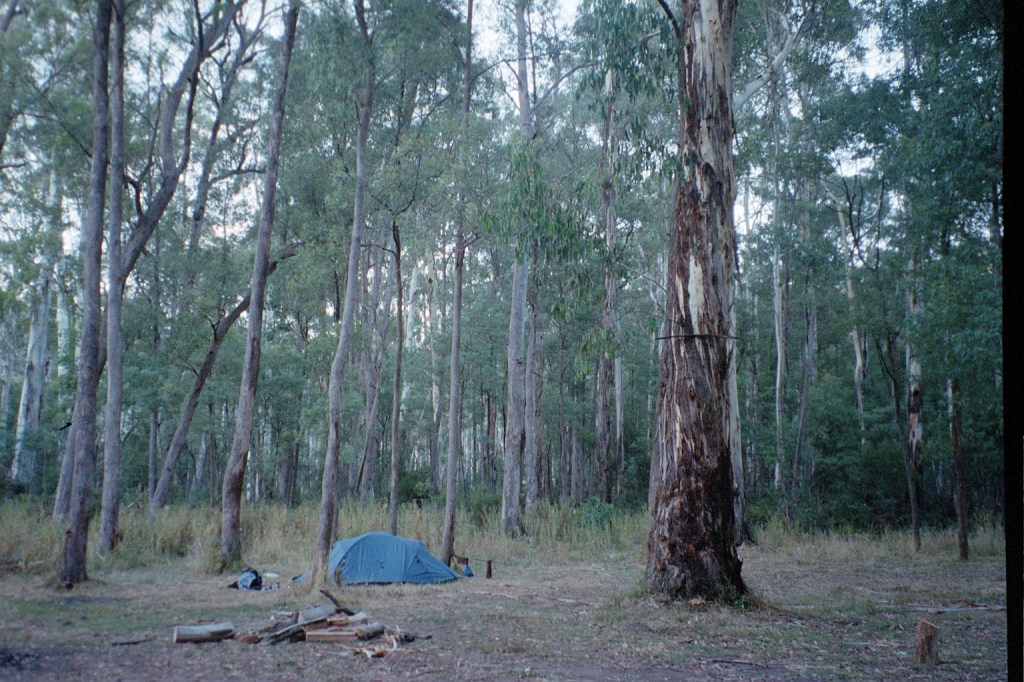
Wonnangatta River camp
Saturday, 6th March 2004. Wonnangatta River – Porepunkah Road. 20 kms.
9 am. Yesterday was a very long day. After lunch yesterday, we went down to the Zeka Fire trail and followed that along. Unfortunately when we got to where the Zeka Creek Fire trail was supposed to be was heavily overgrown and non negotiable. So we had to take the Zeka Spur Fire trail which was a very long haul. We had to climb back up to 1400 metres and then descend down to 500 metres. About two thirds of the way down a couple of guys, horsemen, in a Nissan Patrol without any back seats came along and said, “Pile in.” So we did and they gave us a lift all the way to the Rileys Fire trail turnoff just up from the river. It was a lot further than we had anticipated. We got into camp at about seven o’clock, went down to the river and had a really good wash, filled up our water bottles, sat around and had tea and we went to bed after the moon came up. This morning we’re heading up Rileys Fire trail to Barry Saddle. It’s ten Ks and two 300 metre climbs with a 200 metre descent half way. We have filled up every water container we have including the 4 litre wine bladders. Hopefully, that will be enough water for the next couple of days. So, I’m carrying 8 kilos of water. It’s another beautiful day. There are lots of birds around.
East Riley Road
Sunday, 7th March 2004. Porepunkah Road – CRB Hill. 30 kms.
7.30 am. What started out as a nice little 10 K stroll up the road to Barry Saddle turned into a 22 K forced march all the way to the East Riley Road with a 28 kilo pack. It was another long hard day. The road up to Barry Saddle has been rerouted after the fires and it now comes out at the Van Damme Road. We followed the Van Damme Road up to the Selwyn Track and then followed it to Siseman’s suggested campsite on the saddle. We got there and decided that it wasn’t particularly pleasant. The area was burnt out and there wasn’t a great deal of flat ground. We got Siseman out again and he mentioned a water tank several saddles over. Those several saddles added another 400 metres to our climb for the day but it was worth it to get to the water tank. It survived the fires. Just. From there we followed the track down to the next saddle where we hoped to camp but again the area had been burnt out with no flat ground. It was about 7 pm at this stage so we decided to push on to the junction of the Selwyn Road and East Buffalo road to Porepunkah. It is a better site. Flat but still in burnt out forest. We awoke this morning to be in the middle of cloud for the first time. It’s cold, moist and very windy. There’s this piece of bark about twenty metres up a tree that has been flapping all night. When I first heard it, I thought it was just outside the tent. I had a look but couldn’t find it. It’s about 16 Ks to Mt Murray today along the Selwyn track to our next campsite. We’ll gain another 600 metres.
6.30 pm. We’re camped on CRB Hill just up from the Alpine Road about 9Ks from Mount Hotham. It was another very long day. It started off as a beautiful walk through the cloud and the forest along the Selwyvn track. The track was very up and down. We gained a lot and lost a lot. We climbed up Mt Selwyn South and down the other side to the Great Divide again. We followed the track to the junction of the Selwyn track and the Twins Jeep track. We followed the jeep track around to the Mt Murray road and down to the bottom where a couple of guys came along in a Landcruiser with a flatbed. They gave us a lift all the way to Mt St Bernard. So we’re back on schedule. Again, we underestimated the time it would have taken us to walk this distance. If we hadn’t been picked up we would still be walking into Mount Hotham tomorrow night. It’s very cloudy at the moment. Great billowing clouds hiding the sunset. Tomorrow will be a bitumen bash but it’s only 9 Ks so it should be easy.
Selwyn Track 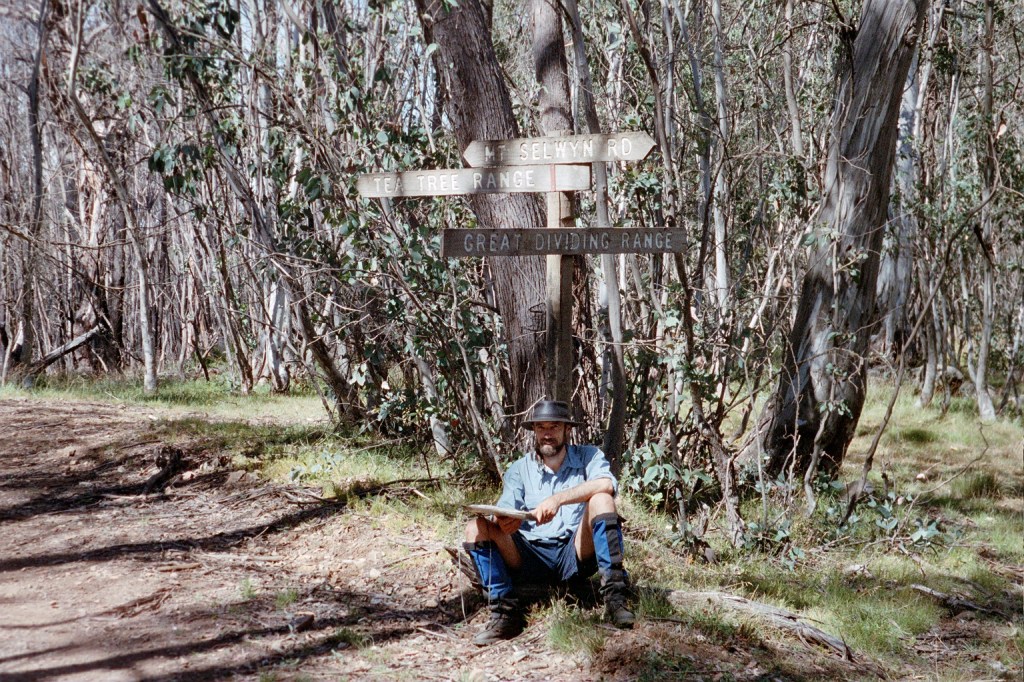
Selwyn Track 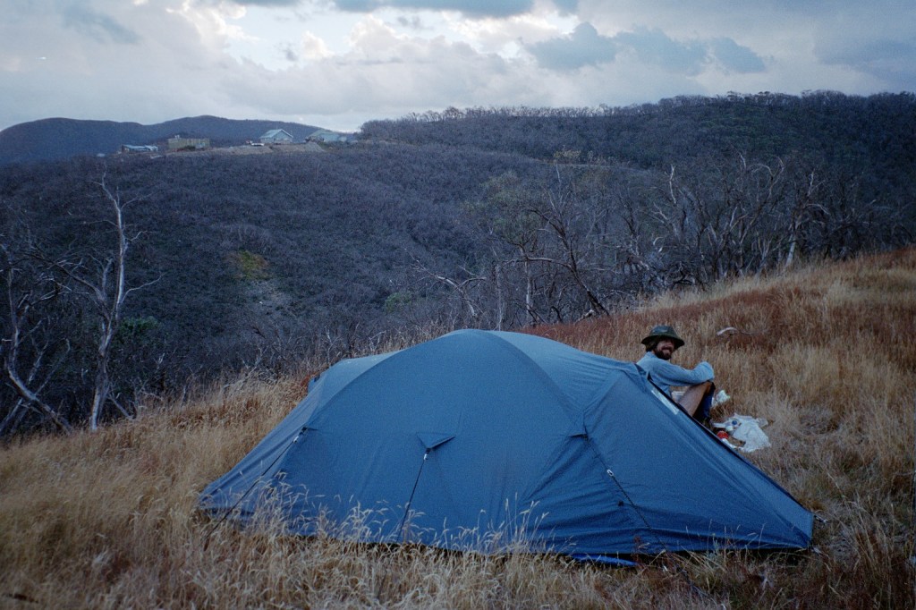
CRB Hill
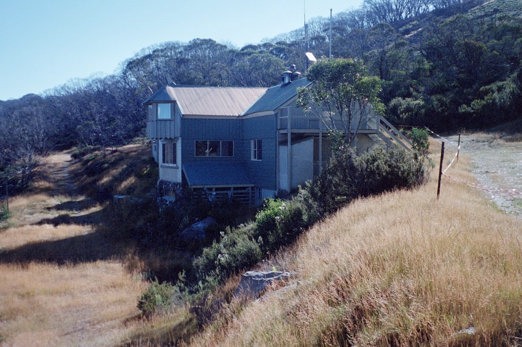
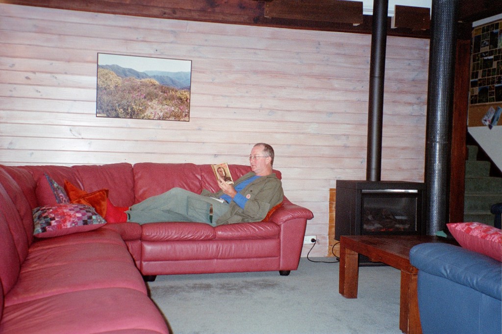
Tuesday, 9th March 2004. Mount Hotham. 0 kms.
Noon. We got up early yesterday and hiked down to here. It was about 12 Ks all up as the backpackers is on the other side of Mount Hotham. It was really lovely to get here. We got in, unpacked, had a shower and put some clean clothes on. We’ve met some very nice people here, Angie and Zoel, who work here in Winter. Zoel is doing IT engineering at Melbourne Uni. They introduced us to Chai Tea which is a spicy Indian tea with some walnut shortbread. Zoel is right into alternative energy sources and he wants to convert a Mitsubishi L300 van into an energy efficient 4-wheel drive. Anyway, we then wandered up to the General, which is the supermarket/store/pub all of 100 metres up the road. We had a huge hamburger each with the lot on it. We came back down to here and did all our washing, dried out the tent and squared all our gear away. Yesterday evening we went back up to the General and had a beautiful pizza for tea. It was a half vegetarian/half meat lovers. The vegetarian side was by far the best. It had zucchini, onion and sweet potatoes. We came back and there’s an Aboriginal archaeology team here doing a survey of the now exposed sites after the bushfires. They’re going to be here for six days. The fires did a tremendous amount of damage to the bush but they did expose all these undiscovered sites. When we woke up this morning, it was raining hard. Severe mountain rain with high winds. I didn’t get up until nine o’clock and then had a breakfast of wheatbix with fresh pears. Chris, the manager here, took us down to Dinner Plain after breakfast and we bought a whole stack of fresh vegetables and a couple of steaks for dinner tonight. It’s still raining, on and off. I hope this will blow itself out by tomorrow. We’ve finished sorting out our food cache and just have to repack our packs so they are ready to go. I’m getting rid of a lot of stuff I don’t need so I can get my pack weight down some more. I’m also sewing up my inner sheet which desperately needs it. All our washing is hanging up in the drying room. It’s a real luxury to be able to lounge around in clean clothes. I plan on spending the rest of the afternoon relaxing.
Peter 
Mount Hotham 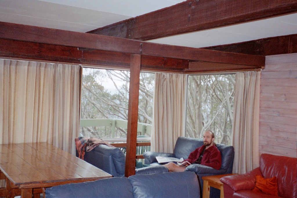
Niven