Introduction
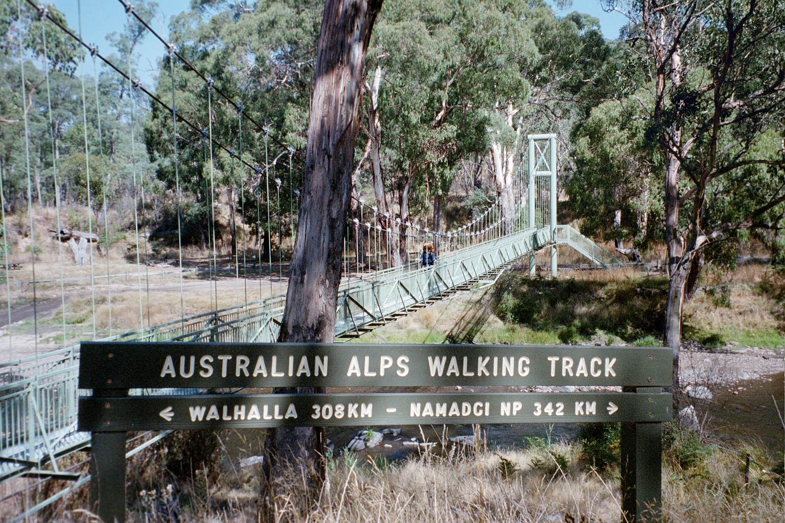
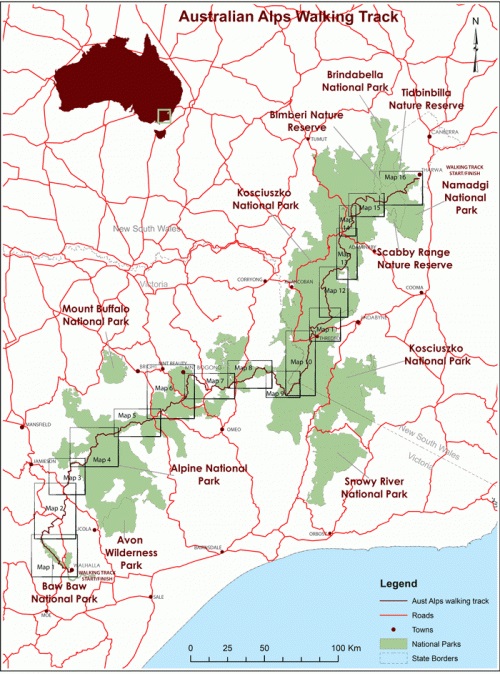
The Australian Alps Walking Track essentially follows the crest of the alpine range from southern Victoria through to the Australian Capital Territory. On the way it crosses all the highest mountain regions from the Baw Baw Plateau, the Mt Howitt area, the Bogong High Plains, the Cobberras then across Kosciuszko National Park, into the Namadgi National Park near Canberra then finally to Tharwa, A.C.T. It is a pure wilderness walk with only two towns, Mount Hotham and Thredbo along the way.
Niven and I had talked about doing this for a few years. We both had Long Service leave due so we set dates for late Summer/early Autumn to minimise the likelihood of encountering snow. We spent the Australia Day weekend putting out five food drops at Rumpff Saddle, Mount Hotham, Taylors Crossing, Thredbo and Kiandra. How much food did we need for our planned six weeks? Well, I had…
- Pasta, 4 kgs.
- Cup’o’soup, 13 packets
- Tuna, 18 cans which I dehydrated
- Dried vegies, 10 sachets
- Muesli bars, 11 packets
- Crackers, 6 packets
- Cheese, 6 blocks
- Peanut butter, 2 x 500 gm. jars
- Tea, 100 tea bags (Earl Grey and Lemon Ginger)
- Two fruits, 3 cans (food drop treat)
- Irish stew, 3 cans (food drop treat)
- Fruit cake, 3 x 1 kgs.
- Methylated spirits, 3 lts.
- Zip loc bags, 3 packets
- Hand sanitiser, 6 x 50 ml. bottles
- Toilet paper, 7 rolls (you do NOT want to run out.)
We fully intended to have rest days and eat up big in Mount Hotham and Thredbo. Some some friends dropped us off at Walhalla on 24th February and left us so we had no choice but to walk home.
Stage 1. Walhalla – Rumpff Saddle
Tuesday 24th February 2004. Walhalla, Victoria.
We’re not really sure where the official start of the track is so we’ll have several official starts. The first one will be here at the station then we’ll hike to the rotunda and then up to North Gardens. We had a very pleasant morning wandering about town.The hike up to the cricket ground is a nice stroll. We came back down and had a chat to Rhonda and Norm Aquilina at the General Store. We’re going to go for a tour of the mine this afternoon which should be interesting. We were going to spend the night at North Gardens. We walked up with our packs, dumped them in the BBQ shelter and then went and did the tour of the Long Tunnel Extended Mine. It was very good. We went deep, well, a couple of hundred metres, into the ground to the big machinery chamber. We checked out what was happening at the General Store, which wasn’t a lot, and then walked back to the gardens along the tramway. Unfortunately, it looks like there’s a bunch of lads moving in here for the night so we’re just going to grab our packs and go back to along the tramway to find somewhere quieter to camp.
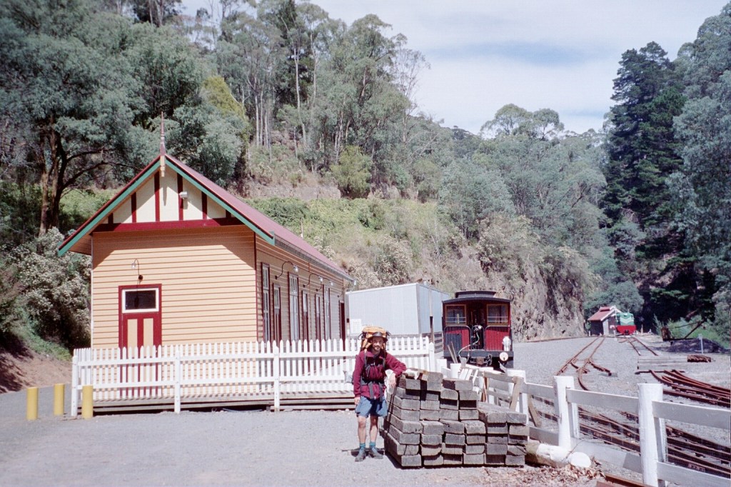
Walhalla Station 
North Gardens 
Walhalla 
Niven at our campsite in Walhalla on the old tramway above the General Store
Wednesday, 25th February 2004. Walhalla – O’Sheas Mill. 16 kms.
Niven and I have reached the iron bridge across the Thompson and the Baw Baw National Park. It has been a very pleasant stroll this morning. The tramway is just flat, easy walking. Well cleared and lovely. Lots of tree ferns and huge trees. It’s a lovely day to walk up the Thompson River valley. From here, we are going to continue up the valley, following the track until we get to Fingerboard Spur where we start the climb up to the Thompson Road where there is supposed to be a water point. It’s about 2 Ks from there to O’Sheas Mill. The bridge is quite substantial. It’s about 20 metres above the river, built in 1900 and all the original ironwork is still intact. It was built by engineers from the Victorian Railways. It’s easy 50 metres across the expanse and it is extremely convenient, that’s for sure. We arrived at O’Sheas at about three o’clock after quite a good first day’s walking. The climb up from the Thompson River wasn’t too bad at all. There were a few surprises. One of the was that one of the curves marked on the map didn’t exist which meant that we just kept on the track, straight, which led up to the main climb up Fingerboard Spur to the Thompson Road where we had lunch. From there we just followed the track down to the site of O’Sheas Mill. It’s a very nice campsite. It has a toilet, a picnic table and a very nice flowing creek. There’s a bit of a weir which forms a very nice pond. We had a bit of a wash and washed our clothing and hung everything out to dry. We sat round, had a cup of tea and a bit of cake. It’s still a very clear day. A few clouds forming but nothing really serious. Tomorrow we’re off to Mt Erica. We worked it out to be about a twelve-hundred metres climb from here. That should be OK as it’s over thirteen kilometres. According to Siseman (our guide book), after the first initial climb, the track comes to an open road which will make things a lot easier.
The Walhalla Tramway 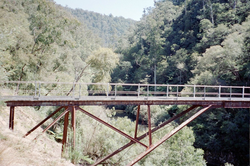
Thompson River Bridge 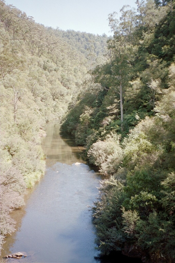
Thompson River 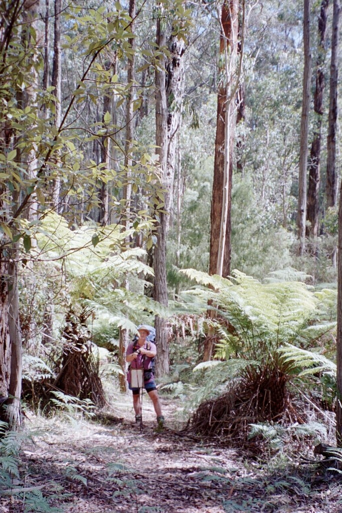
On the descent to O’Sheas Mill
Thursday, 26th February 2004. O’Sheas Mill – Talbots Hut Site. 13 kms.
10.20 am. We left O’Sheas Mill this morning at about eight-thirty. We’ve had quite a good morning. We got up and got going. Packed up our still wet washing and pegged it to the back of our packs. We’ve climbed about four hundred and fifty metres so far. It’s a long steady climb up the Firebreak Track. The climb was quite good. Very steady and quite arduous. We’ve covered about four and a half kilometres so far today. Fingerboard Spur, yesterday, gave us a indication what it’s to be like but we’ve made the realisation that all we have to do is put one foot in front of the other and we’ll eventually get there. It’s a lovely track. About two metres wide, covered in lots of leaf litter and with lots of tree ferns. It goes through a huge mountain ash forest. We passed a couple of stumps before who’s trees were taken by timber-getters but they had to climb up about two metres before they started cutting as indicated by the platform marks up the stump. The Mt Erica Road is just a gravel road that goes up to the Mt Erica Picnic Area about three kilometres from here. Another beautiful day. Very sunny and very bright. One of the blessings so far was that we walked up the hill under the forest and not out in the sun. I’ve got my pack leaning up against an Alpine Track marker, drying my socks and singlet. From here, it’s up to Mt Erica Picnic area, then Mushroom Rocks, up Mt Erica itself and then to Talbot Hut for the night.
1.00 pm. It’s only about four Ks from here to Mt Erica and another K past that to Talbot Hut or, rather, Talbot Hut site where we hope to spend the night. A very pleasant stroll up to here. The first two Ks after morning tea were uphill but then it flattened out nicely to a pleasant stroll through the forest. There are lots of huge mountain ash and huge silver wattles. These wattles are enormously tall. There’s one right here that must be forty metres tall. Apparently, the lead beater possums eat them or rather their flowers. I had a good lunch. Standard lunch is about six water crackers, about forty grams of peanut butter and about forty grams of cheese. That adds up to about 1500 kilo-joules. I added that up from all the information on the sides of the packets. It’s still a sunny, bright day though a few clouds seem to be moving in.
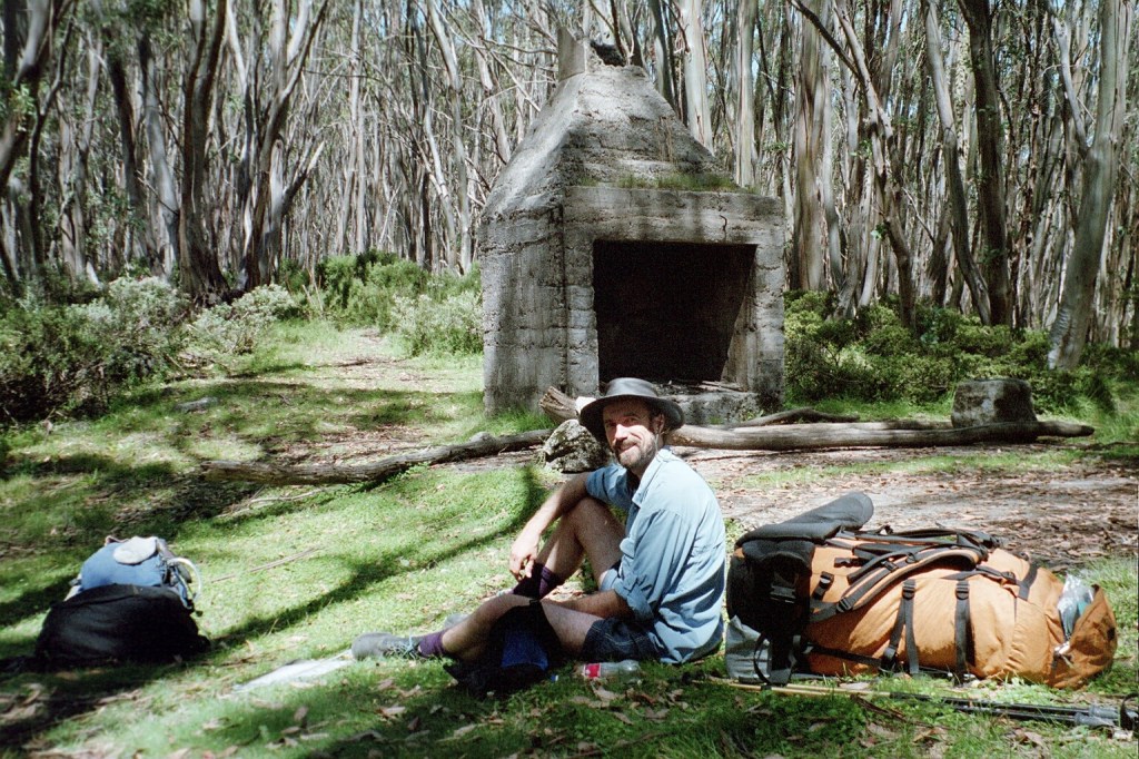
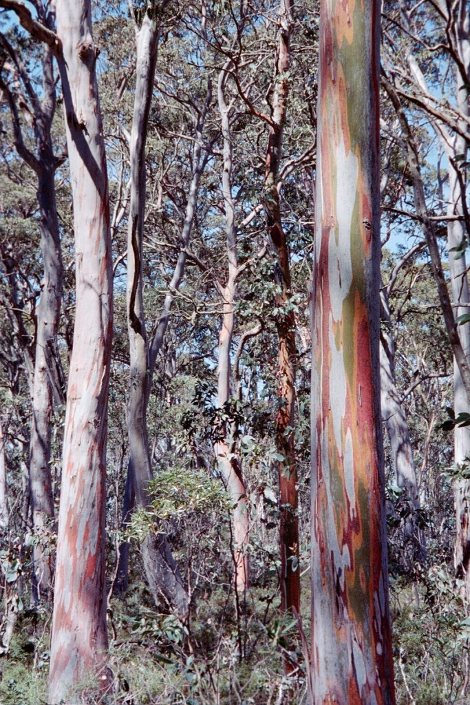
4.30 pm. We climbed a total today of 1260 metres from O’Sheas Mill up Firebreak Track then up to the Mt Erica Picnic Area. Then to Mushroom Rocks. Mushroom Rocks to Mt Erica and then just down to here, Talbots Hut site. It was probably one of the toughest climbs that I have done in a very long, long time. The total distance we travelled was only about 13 kilometres so we climbed one hundred metres every kilometre and that’s not counting the ups and downs. Towards the end I was starting to seriously feel it. We stopped about a hundred metres from the summit and had a long break. It was amazing. After the break, we just strolled up to the summit. Talbots Hut Site is not bad at all. All that’s left is a chimney and a very impressive one at that. It’s a concrete rendered chimney and it’s not going anywhere in a hurry. There’s nothing else here. There’s a nice creek down behind it. We got a bucket of water which we’ll filter later. We’ve just put three puritabs in it. We just got the tent out to dry and our washing and my shirt is also hanging out to dry. It’s still quite a lovely day. You can certainly tell the difference in the altitude. There are wispy clouds above us and you certainly appreciate it when the sun comes out and shines on you. The vegetation has changed dramatically. There are no silver wattles or mountain ashes up here. We’re surrounded by a snowgum/black sally forest.
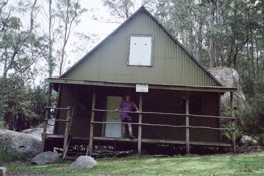
Rover Chalet, Mushroom Rocks, Baw Baw National Park 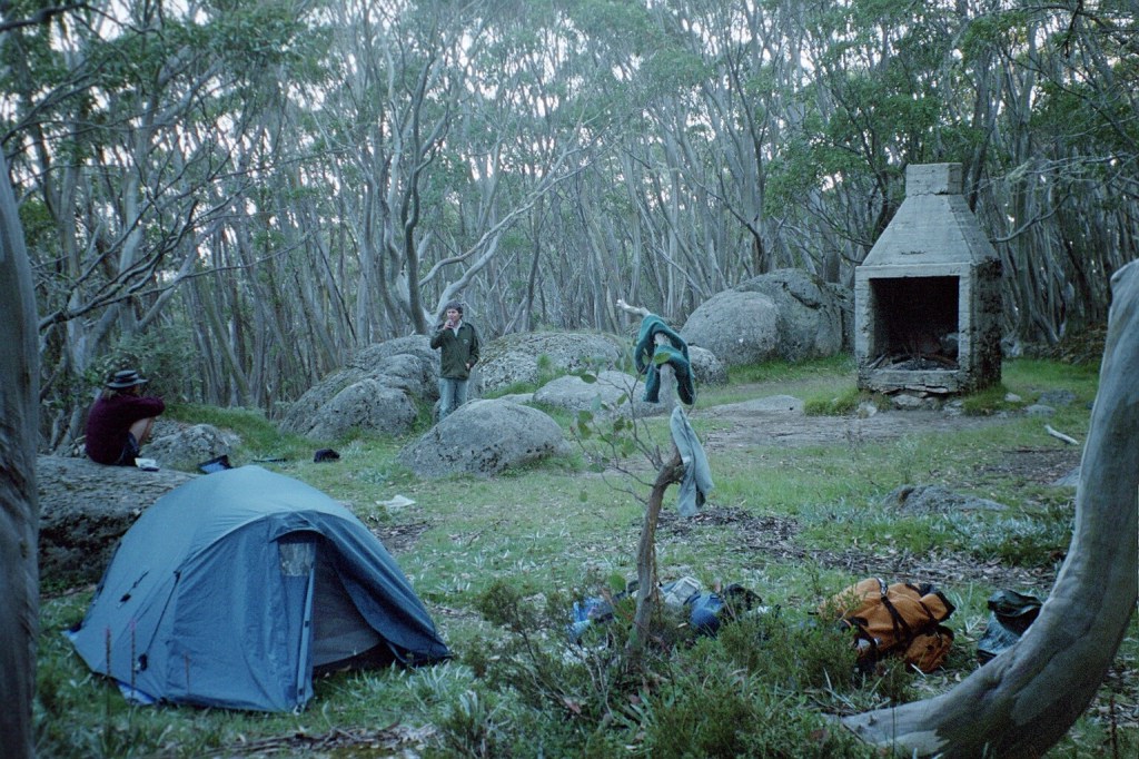
Talbots Hut site
Friday, 27th February 2004. Talbots Hut Site Stronachs Camp. 22 kms.
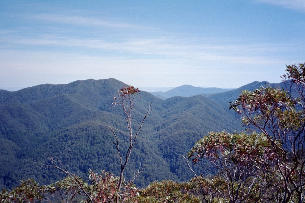
10:00 am. We’re about 6 kilometres from Talbots Hut Site. We’ve been walking across the Baw Baw Plateau and it’s a very, very nice walk. The track is an undulating, winding footpad come bridle trail passing through high plateau heathland and tall black sallies and what we think are myrtles. Although the myrtle forest is supposed to be a bit further on. We’re making very good time. It’s another gorgeous day. It’s a real pleasure to be walking amongst the shade from the forest. There are yellow “Alpine Track” markers pretty well all the way marking the route so it’s very easy navigating or at least knowing we’re still on the right track. It is about six Ks from here to Mt St. Gwinear which we hope to make by lunch time. From there to Mt Whitelaw and then down to Stronacks Bushwalkers Camp which is about a K from Stronacks Camp itself.
11:00am. We’re at the junction which takes us to St Gwinear or on to Mt Whitelaw. There’s a signpost. St Gwinear is 1 kilometre, St. Gwinear Carpark is 4 kilometres and Baw Baw Villiage is 5 kilometres. We estimate that it’s only a K or so from here to St. Phillack.
1 pm. Whitelaws Hut has a very similar chimney construction to the one at Talbot’s. A very interesting little stroll. We’re going to rename the Baw Baw Plateatt as the Baw Baw Undulations. There’s nothing flat about it whatsoever. It’s a winding up and down track all the way. It’s a good track, very easy to follow. It’s very scratchy on the legs though. The heath is very close. It’s still a lovely day and it’s good to be here for lunch.
4 pm. A signpost read, “Mt Whitelaw, 3 kilometres. Stronachs Camp, 4 kilometres. ” The track is very overgrown. The Upper Yarra Track, that is. It doesn’t look like it gets used very often. The sign itself is kinda buried in the Baw Baw Berries. The Upper Yarra Walking track heads downfrom here to the Newlands Road, 3 kilometres from here. It’s been very pleasant walking through the forest. Unfortunately my legs are a bit scratched up at the moment because of the heath.
6:30 pm. We crossed the Baw Baw Plateau in one day. It’s been a very long 22 kilometres. We got down off the plateau to the designated bushwalkers campsite and decided not. It would have meant a 200 metre scrub bash to water and it was only a very tiny site anyway. So we hiked the extra kilometre down to Stronachs Camp and when we got to the Thompson River Road, there were a couple of guys beside the road fixing a tyre on their Toyota Hilux and I think they were blocking the entrance to Stronachs Camp so we just said G’day and strolled past. About 200 metres down the road, I’m thinking, “No. This isn’t right. ” So I had a look at the map and decided that, yes, it was back there. We turned around and came back, filled up our water and came back here to this nice campsite beside the road. We’re down amongst the mountain ash again. They’re very tall so we probably won’t get the sun in the morning. The sun is just starting to set now. It’s only half past six and we can just see the sun through the trees. We’ve only got fifteen or twenty minutes before it’s below the horizon.
Whitelaws Hut site 
Stronachs Camp 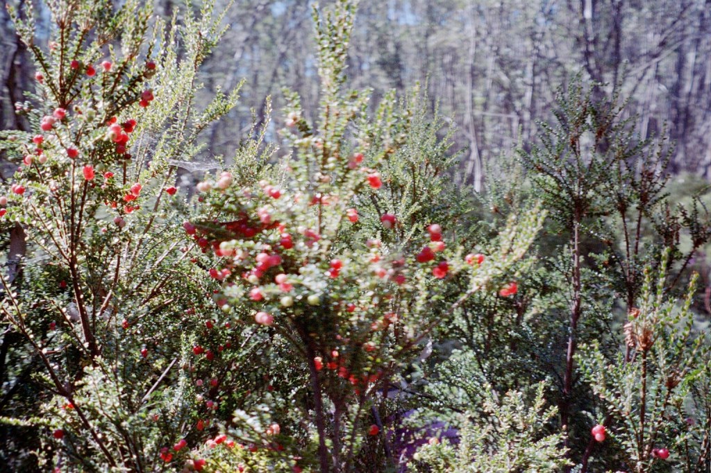
Baw Baw Berries 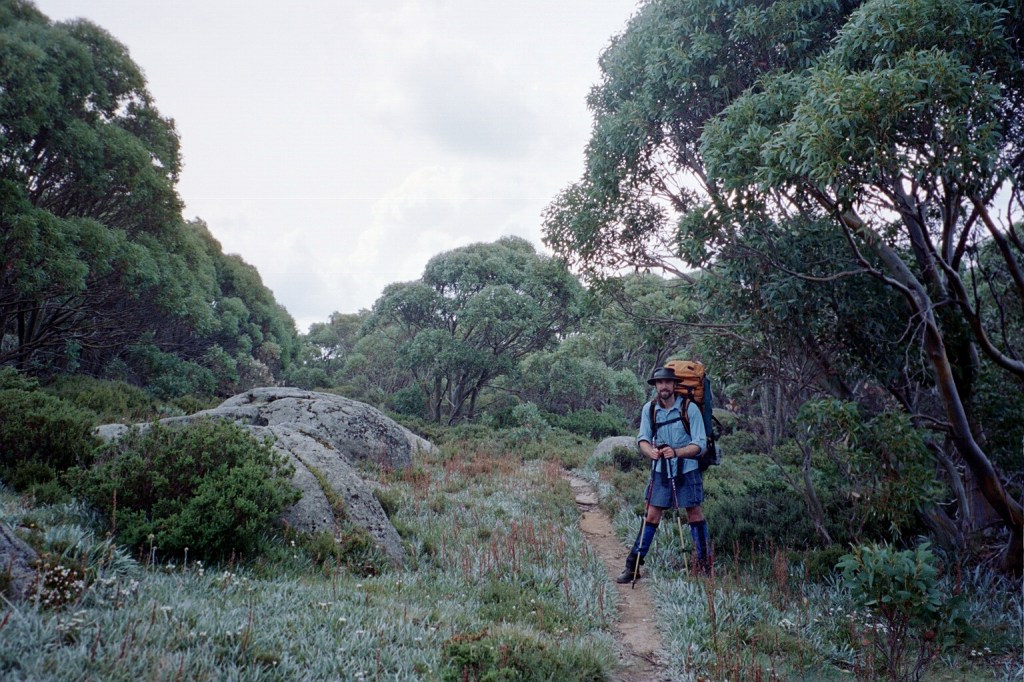
Baw Baw Track
Saturday, 28th February 2004. Stronachs Camp – Red Jacket. 25 kms.
9 am. We’re 2 kilometres from Stronachs Camp after a very pleasant stroll through the forest. We got up at a quarter to seven this morning. We packed up, had breakfast and got going. We were away by twenty past eight which was probably the best so far. It did take us fifty minutes to do the 2 Ks through the forest. The track is very well maintained although it twists and turns everywhere. There has obviously been a work crew through recently as all the logs are sawn and the blackberries cut back. It was Friday night last night. I forgot it was Friday. A couple of cars turned up long after we’d gone to bed. Lots of doors slamming, loud talking and loud music. Obviously a couple of groups walking across the Baw Baw Plateau. There was one car up near the gate this morning. It’s another gorgeous day. Blue skies with the sun shining through the mountain ash. The Upper Thompson Road is just a dirt track really. It doesn’t get a lot of use by the looks of it. It’s about 500 metres from here down to Trig Point Track. We’ll followed that down to the Thompson River Valley. From there it’s going to be up the other side and that’s going to be a long climb.
Noon. We had a fairly good morning and made good time. We climbed up to the trig on Trig Track. It had a sphere on top of it. We went down from the trig to Park Road. Unfortunately it’s very steep and on the way down I had a nasty tumble and took a bit of skin off my arm. We got to the Jordon Divide Road and followed it past Easton Dam and then to the turn off down to the Thompson River. This is actually Thompson Camp and it’s where we are having lunch before we try and find the foot pad up to Mt Easton.
4.15 pm. Now THAT was the toughest climb I’ve done in a very, very long time. We had lunch down on the Thompson River at 540 metres and we’re on the summit at 992 metres. What was not mentioned anywhere is the false summit of Little Easton which is about 50 metres lower than the real summit but there’s then a 100 metre descent before climbing back up to the real summit. Note to self I am never going hiking ever again without my hiking poles. They are lifesavers. From here it’s 8 kilometres to Red Jacket and that’s going, to be this afternoon’s entertainment. Hopefully, mainly on fire trails which should speed things up. It’s still a lovely day but there is a bit of a breeze blowing which may portend a change in the weather but we’ll see.
6.20 pm. We came off Mt Easton and I made a slight geographical error. We came down, hit the fire trail and automatically turned east. According to Siseman we’re supposed to follow the fire trail off Easton and down and then turn east onto the Casper Fire trail. Unfortunately, we turned east when we reached the fire trail instead of following it down. So we were just wandering along thinking how well this is going and about 2 Ks later it came to a dead end. So we got Siseman out and reread the notes. This time properly. We turned around and walked back. We followed the Casper fire trail north-west until it hit the Easton Road, turned east and followed it until we reached another junction where the AAWT signpost had been knocked over. So we picked it up and pointed it back to where we had come from and continued on. So far we’ve seen one Alpine Track marker and two AAWT markers so we’re definitely on the right track. However, it is twenty past six and we have quite a way to go to get to Red Jacket. Red Jacket is the only place we can camp as we’re in the Thompson River catchment. So it’s going to be o long walk into night by the looks of it.
Red Jacket camp
Sunday 29th February 2004. Red Jacket – Black River. 22 kms.
9 am. We had a very long day yesterday. We crossed the Jordon at twenty past eight last night and got into camp. We set up camp, got some water, purified it, cooked tea and went to bed. Just as we finished cooking tea it started to rain. It rained on and off all night. It was still raining when I woke up at five to seven. At half past seven it stopped raining and cleared up to another gorgeous day Today the track goes up Victor Spur. It’s about a six hundred metre climb. Before we do that though, we are going to have a look at Red Jacket and see what’s left of the town.
9.15 am. There are about three very distinct graves we can see in the Red Jacket cemetery. The biggest one here is a family plot. The inscription reads, “In loving memory of Michael O.’Keefe Senior who departed this life 21st April 1894 aged 67 years. Also his daughter Bridget who departed this life on 11th February 1867 aged 2 weeks and his son Timothy who died on 10th November 1896 aged 25 years. Also his dear wife Anne who departed this life on 12th June 1913 aged 76 years. RIP. ” The next headstone is, ” in Remembrance of Mary Jolley who died 7th October 1904 aged 77 years and of her sons, Nathaniel who died 13th August 1888 aged 28 years, David who died 1st January 1880 aged 12 years. “
1 pm. We got to the Walhalla Matlock Road at twelve thirty and just cruised along from there. It was a bit of a long haul up the side of Mt Victor to the Walhalla Matlock Road. It took all morning but that’s the way it goes. From here, we follow the road until we get to Champion Spur Road and drop down to Black River. That’s about 14 Ks from here. The weather keeps closing in on us and then clearing up. We had a few spots of rain earlier on. We got our pack covers and jackets on in time for it to clear. It’s now nice and sunny.
Descent to Black River, Champion Spur fire trail 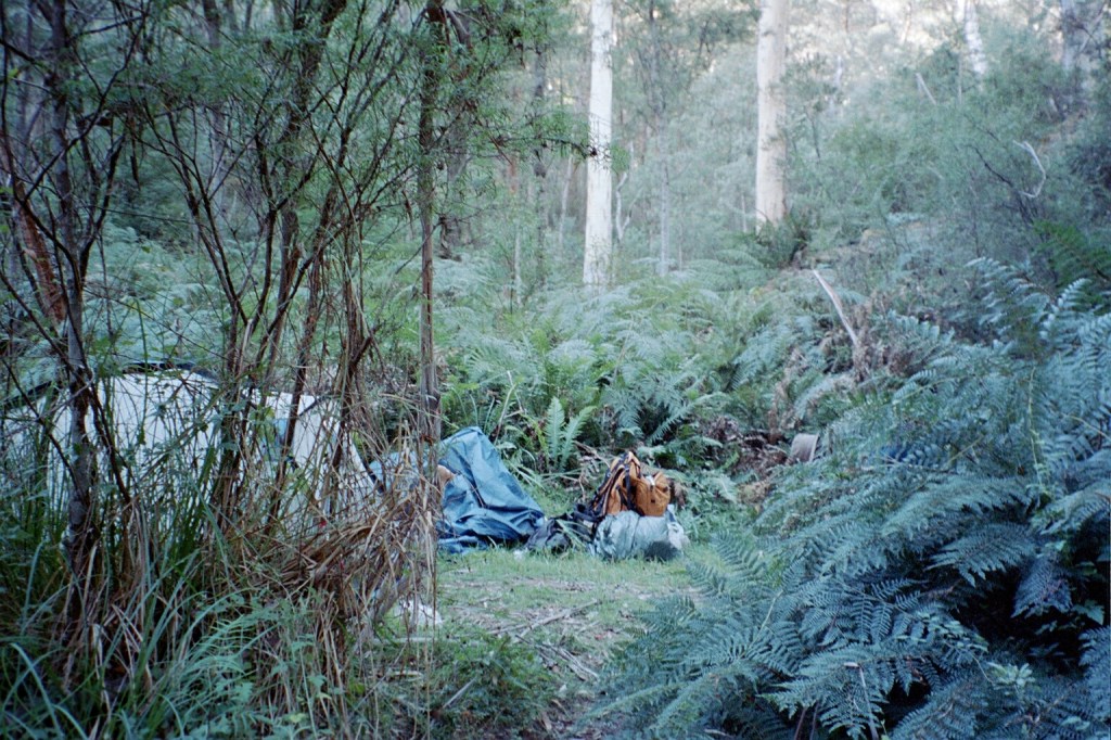
Black River campsite
Monday, 1st March 2004. Black River Rumpff Saddle. 15 kms.
9.30 am. It’s Autumn and it feels like it too. We’re at the camping spot on Black River and that’s all it is. A spot. We had an interesting afternoon yesterday. We followed the Champion Spur track along as best we could. Unfortunately, or rather fortunately, we missed the turnoff for the AAWT and kept going which turned out to be very fortuitous. We followed the fire trail straight down to the Black River and across to this nice camping spot. Siseman describes a scrub bash for the last kilometre down the river to here and looking at the terrain along the river it’s not something that I’d like to experience. It’s very narrow. We’re in a deep gorge and there are thick blackberries and stinging nettles all the way along. We had a good night but it’s very chilly this morning. We’ve got a five hundred metre climb this morning up to Mt Shillinglaw and from there we hit the Jamison Road which will take us up to our food cache near Mt
Skene. So 15 Ks all up starting with a nice heart starter of 500 metres.
10 am. If I’ve ever done one impossible thing after breakfast, that was it. I just climbed 500 metres in an hour and a half non stop and I still feel great. So I think my conditioning is starting to kick in. The track is very good for the first part where it is an overgrown fire trail but then it deteriorates rapidly. From that point it’s a matter of following the signs. There are cut logs, the occasional ribbon around a tree and very occasionally and Alpine Track marker. I’m at the top of the unnamed hill that Siseman mentions. There’s a little cairn of rocks here and the track veers off to the north east. Unfortunately it’s going to drop one hundred metres which is a bit of a shame considering all the effort I put in to get here. It’s an absolutely beautiful day with not a cloud to be seen. It’s nice and warm up here. This unnamed hill has got huge trees on it. I’m just going to fix up the cairn a bit, have a bit of a break until Niven gets here and then we’ll take off.
Gums on Mt Shillinglaw 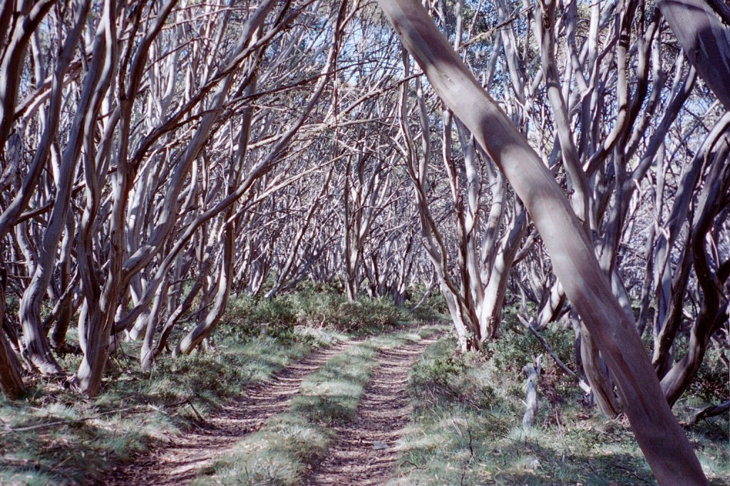
Barkley River Jeep Track near Mt Skene and Rumpff Saddle 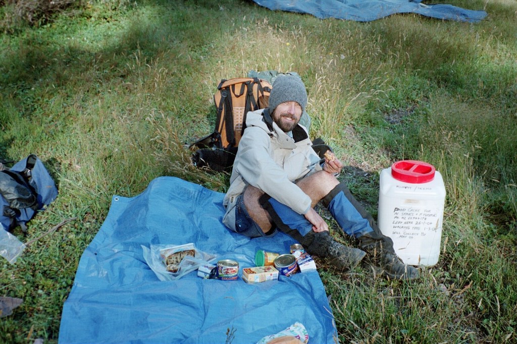
Food cache with treats. 🙂
