Stage 4. Taylors Crossing, Victoria – Thredbo, New South Wales
Saturday, 13th March 2004. Taylors Crossing – Besford Track. 13 kms.
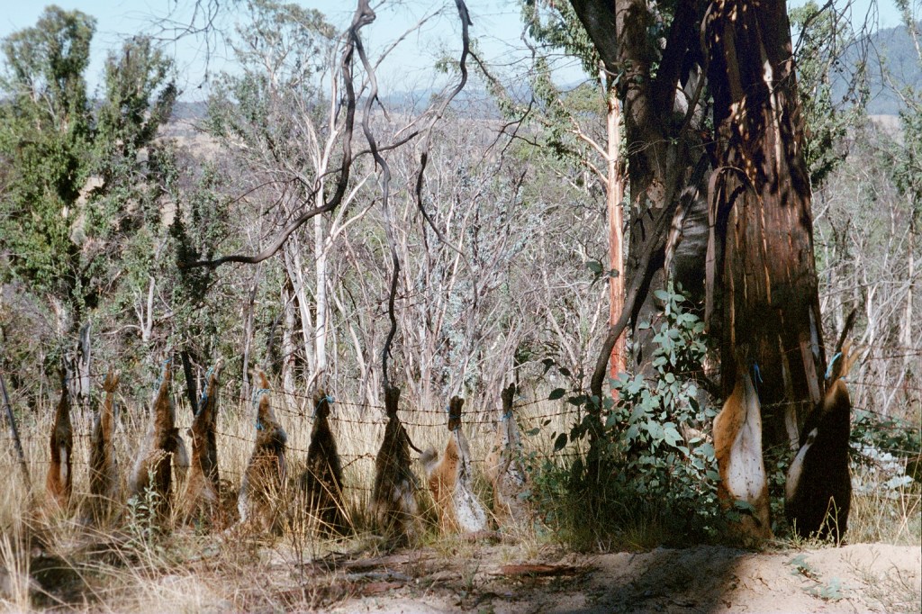
Dog carcasses beside Corryong Road
Sunday, 14th March 2004. Besford Track – Mount Misery Road. 28 kms.
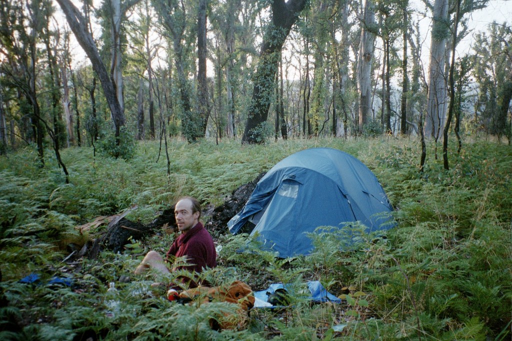
8 am. We’re at our campsite on the Beresford Road. After a sleep in yesterday morning we got away at 11.30. We sorted all our food out and returned the cache. Washed some clothes and dried them. Dried the tent out properly and repacked everything from scratch. We scrub bashed through a paddock at the start after we crossed the bridge at Taylors Crossing and eventually cut north to the dirt road in to the Alpine National Park. We passed a few paddocks, an eagle hanging on a fence, a dog hanging on a fence. They’re big at hanging whatever they shoot on fences around here. We followed the road until we got to the turn off to Morass Creek which was a steady climb up to a peak and then we followed a very rough foot pad which contoured all the way down to Morass Creek. It took us most of the afternoon to get down to Morass Creek. Again we didn’t have lunch until 4 pm. Then we had a very heavy scrub bash up the other side until we broke out into the open. We followed a very steady ridge line until we got to the Corryong Road. We followed the Corryong Road for a couple of Ks down to Stoney Creek where we filled up all our water bottles and from there to the turn off on the Beresford Road. We climbed for the rest of the day up the Beresford Road. All the way to here. We gained 400 metres. It’s all burnt out unfortunately. Last night we just kept walking and walking, trying to find a halfway decent campsite but we didn’t find any. It got to the point at about 8 last night that we decided to climb to the next ridge and just set up camp. So we got to the top of that ridge where one of the gates marked on the map was and from there we turned off up to the top of a knoll and set up camp amongst all the burnt out timber. It wasn’t great but it had to do. Another beautiful morning on the track. Today
we’re heading for Johnny’s Top and then Buenba Creek. Before we leave we’re going to get all the maps out and look at the big picture.
Beresford Road camp
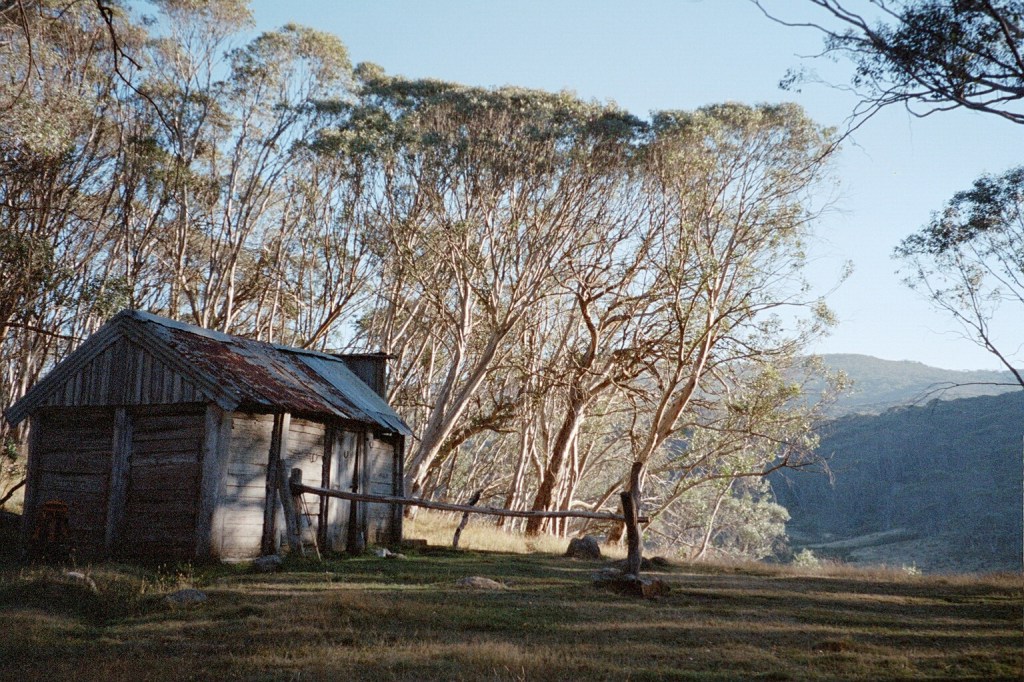
Monday, 15th March 2004. Mount Misery Road – Stoney Creek. 24 kms.
8.30 am. We’re about to start walking up the Limestone Road to the Alpine National Park. We left our campsite yesterday morning after consulting our maps and decided to have a day ambling and rambling along country roads instead of going up Johnnys Top and Buenba Creek. So we came down the Deep Creek fire trail, filled our water bottles at Deep Creek before moving into the farming areas along Morass Creek. It was a very nice little stroll. It started to get very warm at one stage. We got passed by a logging truck and a couple of four wheel drives and then as we were walking down the road a huge branch fell out of a tree about 10 metres in front of us just after I had pointed out to Niv that a car was coming towards us. So we cleared the branch off the road and the ute pulled in. It was a couple of people just having a look around the place and they offered us a lift to the Beluka Gap. So we got a lift all the way to the Beluka Gap and started wandering down the Limestone Road. We had lunch near some cattle yards and continued on to here. We set up camp up from the bridge over Morass Creek. We got here at about 3.30 pm, went down to the creek for a good wash and then came back, cooked up dinner and went to bed. It’s a very foggy morning. It’s either fog or very low cloud. It’s rather cold and the landscape is still very burnt out. Yesterday we saw our first kangaroos of the trip which is a good sign as it means they’re starting to move back into the area after the fires. It’s about 17 Ks along the Limestone Road to a bridge and a hut inside the Alpine National Park. From there, it’s only a hop, skip and a jump to the Cobberras and then on to Cowombat Flat which is 24 Ks past the hut.
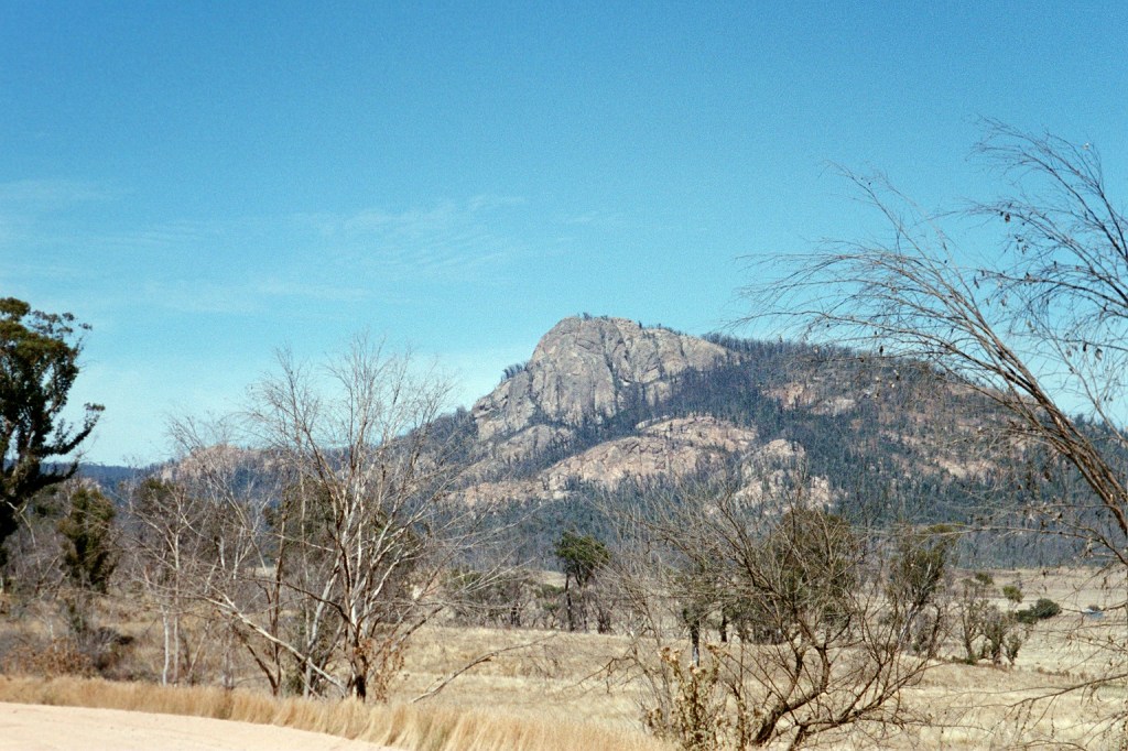
Mount Leinster 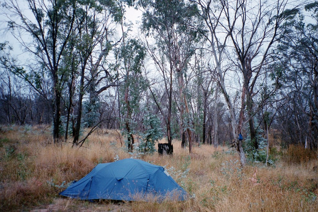
Misery Road camp
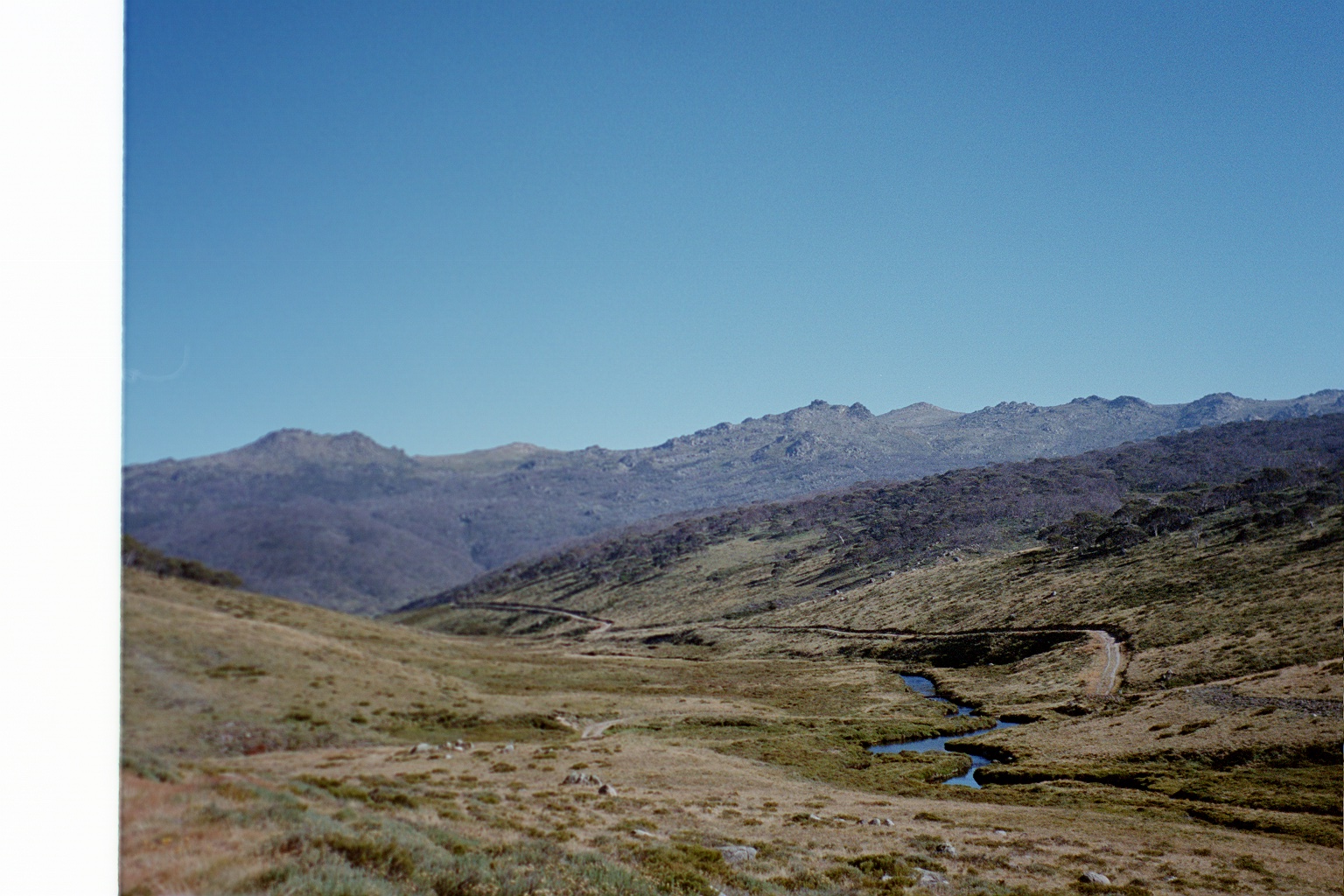
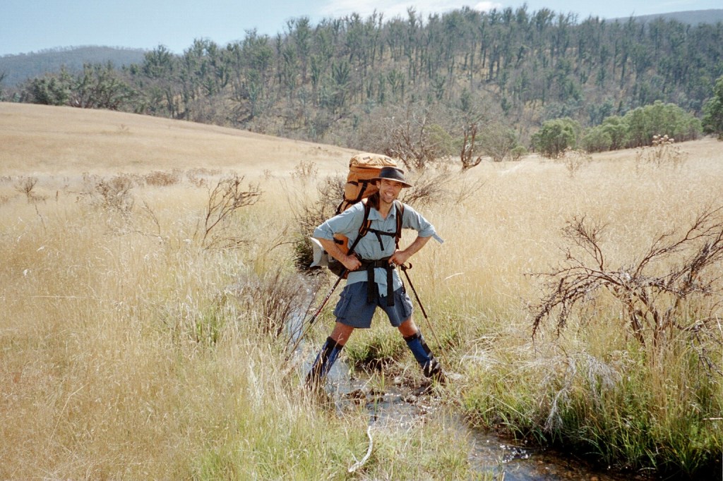
Tuesday, 16th March 2004. Stoney Creek – Cowombat Flat. 17 kms.
8 am. We camped last night on the upper reaches of Stoney Creek at a very nice place. We’re back in real alpine country now. Yesterday we left our campsite down on Morass Creek and walked the 12 Ks to the border of the Alpine National Park on a very well used but good dirt road. It was very easy walking. There was only one turn off which went to the Bunamba Mine which was a very good road indeed. Bitumen in fact. We passed another row of dead dogs hanging on a fence and just as we got to the watershed on the saddle, a ranger came by. He was full of information about the place. The whole area had been burnt out as had the hut we were heading to. He did, also, offer us a lift to Cowombat Flat as that was where he was going. We declined as this was one section that we wanted to walk. And I’m very glad that we did. We wandered down to the site of the hut and I kept thinking that we had made the wrong decision but after lunch on Limestone Creek, we wandered the 8 Ks to the Cowombat fire trail and then 2 Ks down to here and it was a lovely stroll. All up it was a 27 K day. It hadn’t started out to be that but that’s how it went. It’s only about 16 Ks from here to Cowombat Flat so, at the rate we’re going, we should be there by afternoon tea time.
Limestone Road 
Cowombat fire trail 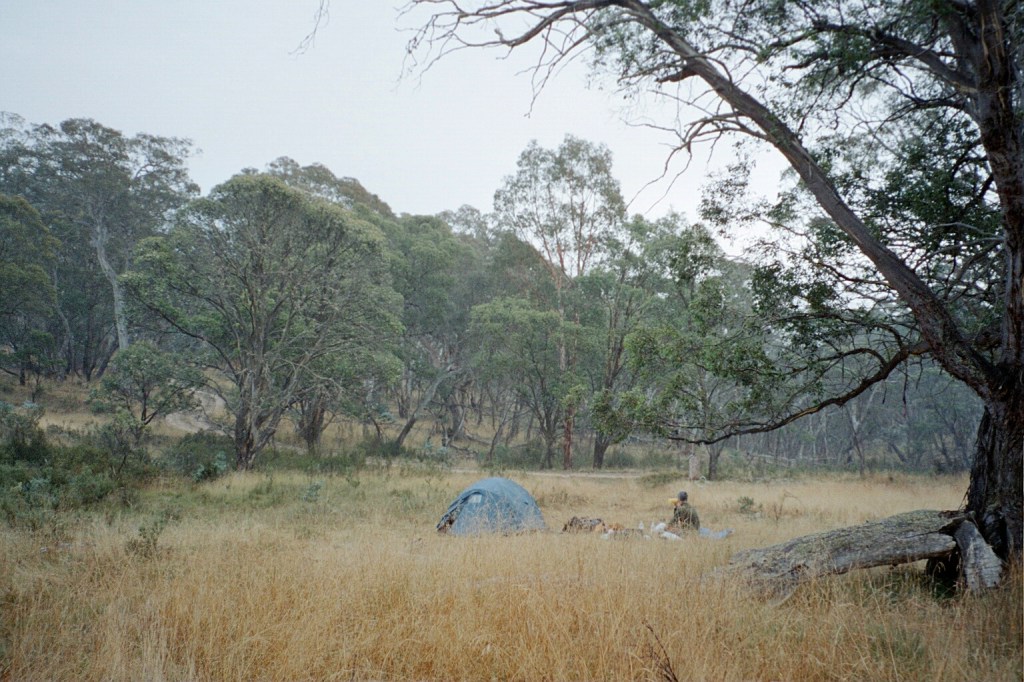
Stoney Creek camp 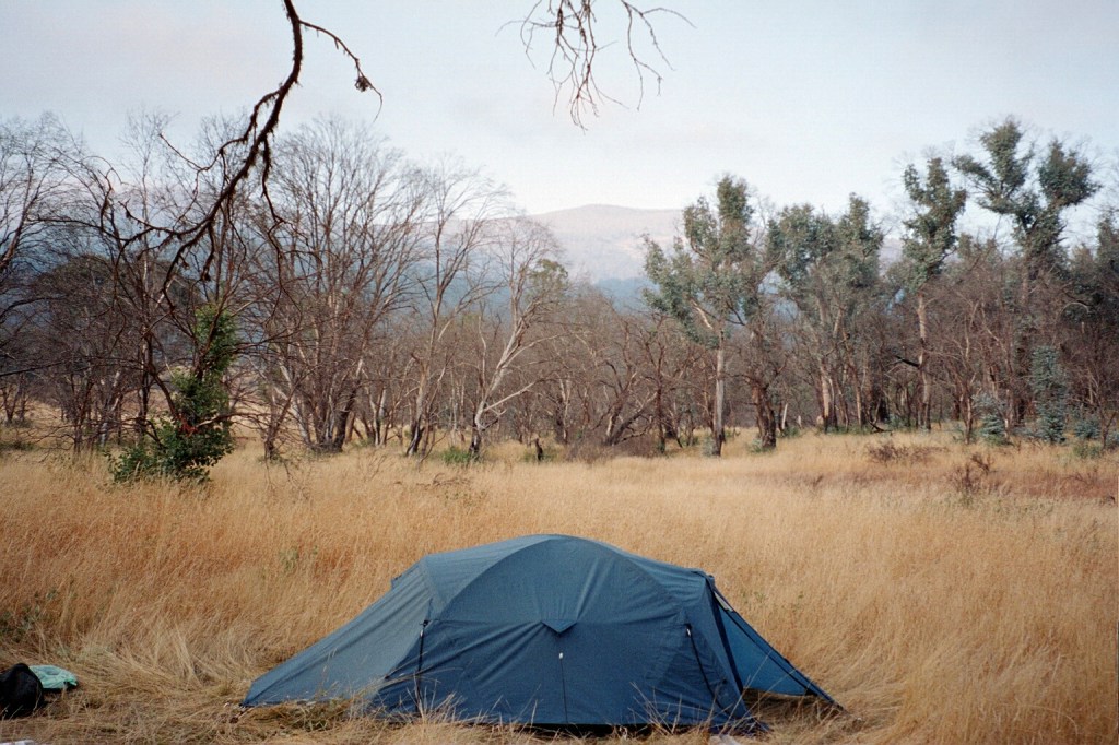
Cowombat Flat camp
Wednesday, 17th March 2004. Cowombat Flat – Tin Mines. 18 kms.
8.30 am. Yesterday we strolled down from Stoney Creek, which was dry all the way. It was a very easy stroll down. We got here in time for lunch at 1.30 pm. Cowombat Flat is very overgrown with grass. It must’ve been a real mown alpine meadow before the fires came through. The fires drove all the kangaroos and brumbies out so there’s nothing to keep the grass down now. It’s still lovely now though. We did our obligatory photo shoot with one foot on either side of the Murray River, straddling the NSW/Victorian border. Cowombat Flat is near where the Murray starts and the Murray makes up the majority of the NSW/Victorian border all the way to S.A. Forest Trig is just over there so this is the other end of the straight part of the border, the other being Cape Howe. I can’t remember when I stood on Cape Howe last. Yes, I can, it was on the Wilderness Coast walk. Anyway, it’s another beautiful day. There was a lot of smoke in the air yesterday and there’s still a bit about today. The wreck of a DC-3 is still here which made a forced landing here in 1954 after an engine failure . There’s only bits of the wings though. Today starts with a short climb of about 3 Ks up to Snow Gum fire trail and from there back to the Cowombat fire trail and down to Tin Mines where Carters Hut is and where we’re going to spend the evening. It’s only about 18 Ks so that should be this morning’s exercise.
Niven straddling N.S.W. and Victoria 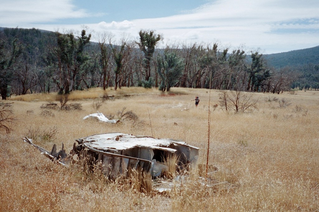
Wreckage from a DC 3 forced landing 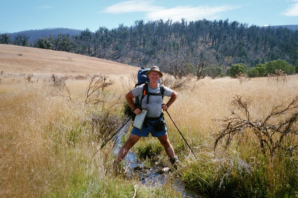
Peter straddling N.S.W. and Victoria 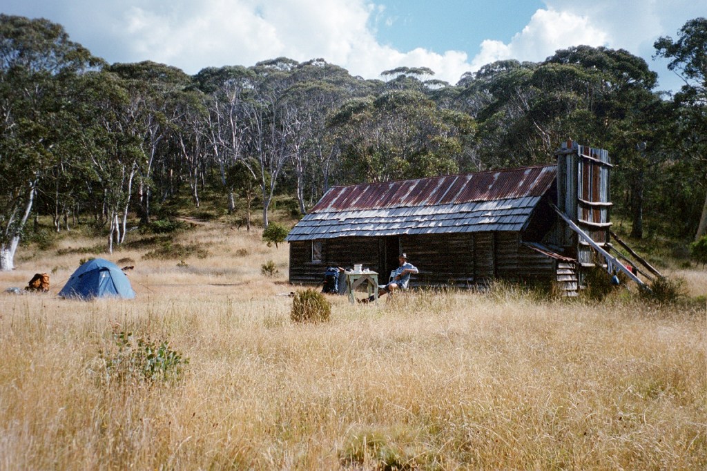
Tin Mines hut
Thursday, 18th March 2004. Tin Mines – Cascade Hut. 19 kms.
8.30 am. We had a good day yesterday walking in from Cowombat Flat. It didn’t start out that well. The fire trail disappeared under all the regrowth just after we started off and we spent a bit of time trying to find it before just following a ridge line up till we rejoined the fire trail about a K from the top. We followed the Snowgum fire trail up and down and back to the Cowombat fire trail. We just ambled after lunch. I got here at 3.00 pm and Niv wandered in at about 3.30 pm. We really cruised along the track. Switched off and just strolled. Very pleasant walking. Anyway, after I got here I went down to the river and had a wash, washed my clothes and brought water back to the hut. Niv had the tent hut by then so we brought the table out of the hut and had a very civilised afternoon tea. There are no brumbies around. There’s plenty of sign. Dung up on the track and a full skeleton down near the Indgeegoodbee river. There’s also a huge lump of pink rose quartz down there. We cooked up tea then had a lovely fire inside the hut. We had a few cups of tea and just chatted. We got to bed at about 9.00 pm. Today, it’s on to Cascade Hut which is all of 17 Ks away with a 200 metre climb along the way. The weather is very cloudy with the smell of smoke in the air still. It’s been smoky since Taylors Crossing. We got a bit concerned last night as it got very smoky at one stage.
Cascade Hut 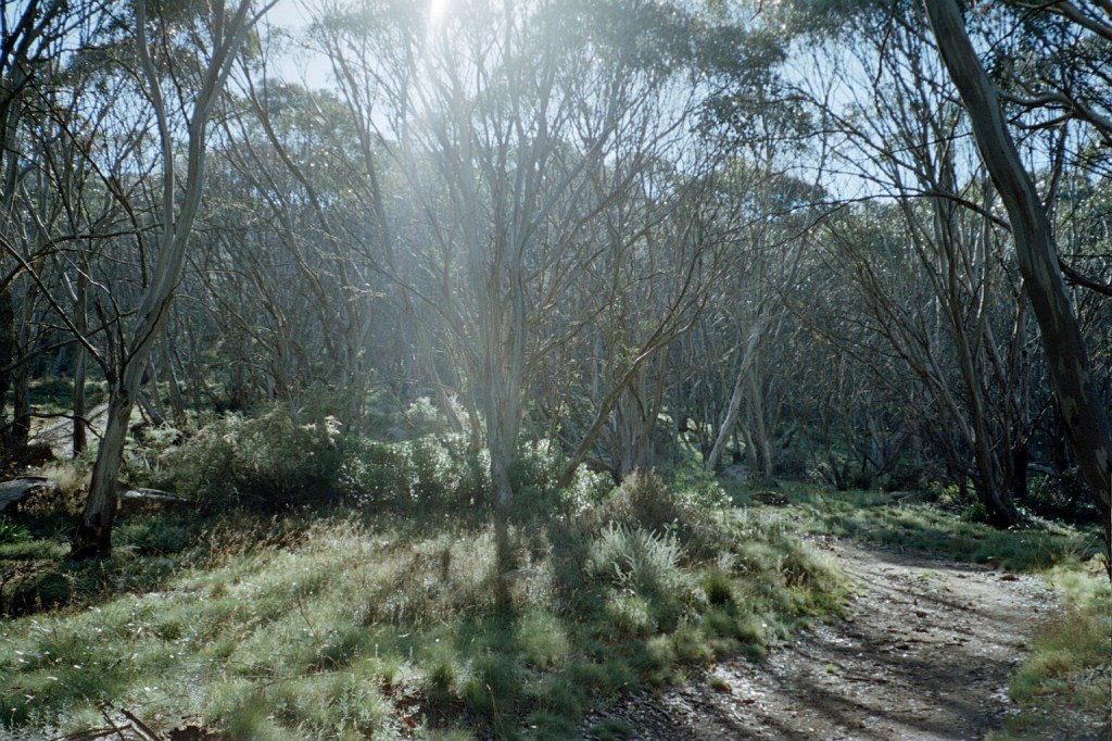
Along the Cascade fire trail 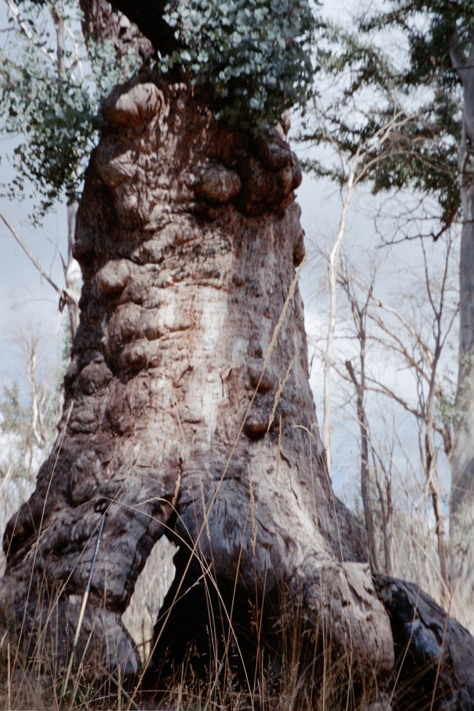
An Ent along the way 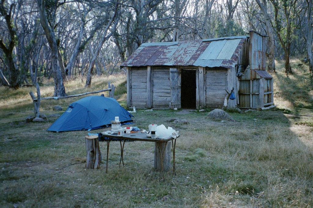
Cascade Hut
Friday, 19th March 2004. Cascade Hut – Thredbo. 14 kms.
10.30 am. I’m on the Alpine Way at Dead Horse Gap. Back on the bitumen. It took me 2 1/2 hours to walk here from Cascade Hut. A very nice stroll. Our walk from Tin Mine to Cascade yesterday was a very pleasant stroll. We left at 9.00 am and arrived at Cascade Hut at 1 pm for lunch. It was quite overcast in the morning then it cleared to a lovely day. I washed my shirt and shorts again in the Ingeegoodbee River and managed to fall in. We spent the afternoon lounging around and had afternoon tea. Niv cooked up mashed potatoes with peas, cheese and pepper. Then it was time for dinner. We had another lovely fire and drank hot chocolate after dinner. It got very cold last night. It was the first time I had my beanie on in bed. We woke this morning to clear skies. The first time we’ve woken to clear skies for the entire trip. We watched the sun come up. From here it’s a 6 K stroll down a track on the other side of the road to Thredbo. The Thredbo River Track according to the sign. We’ve booked into the hostel. So it’ll be clean clothes, showers and having lunch and going out for dinner.
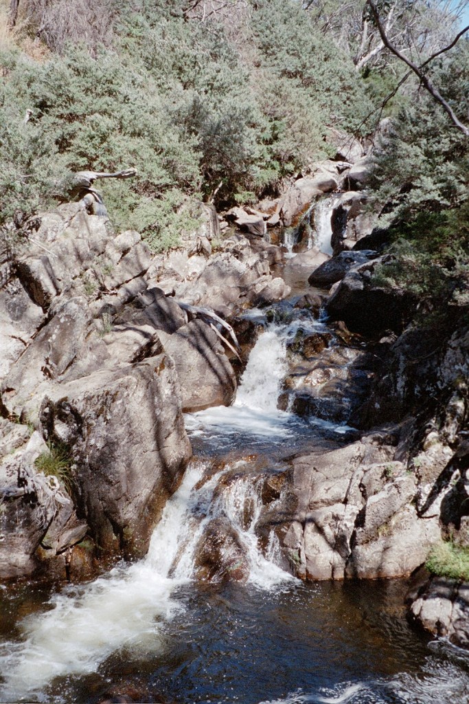
Falls on the Crackenback River 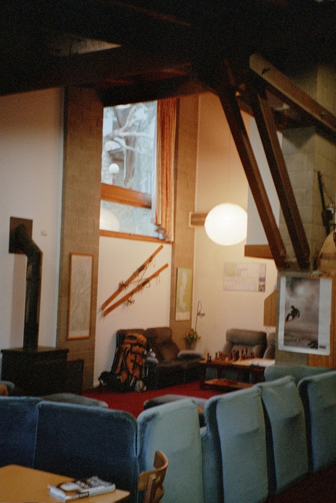
Inside the hostel at Thredbo 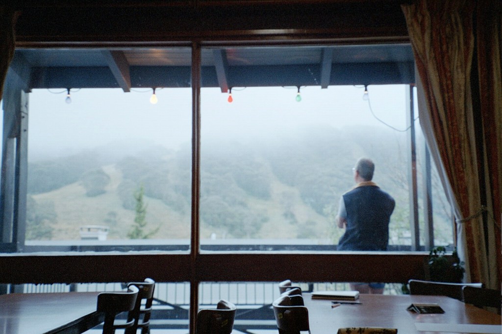
The view from the hostel 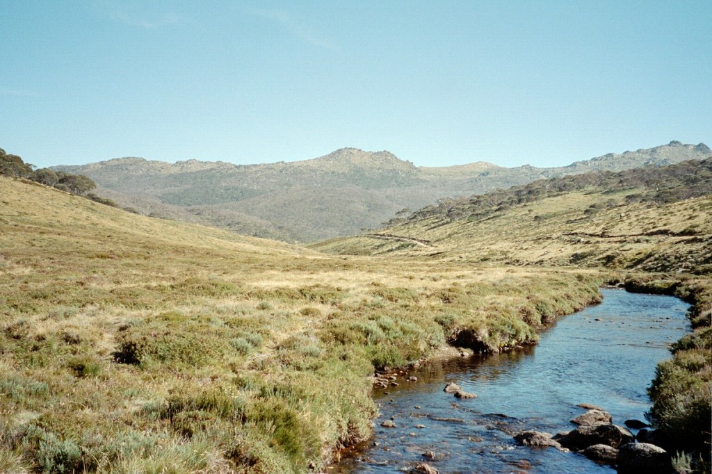
The Crackenback River and the Ramshead Range
